
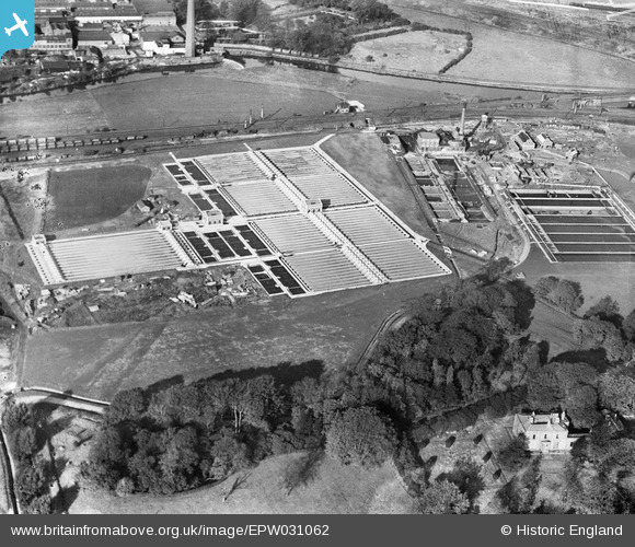
EPW031062 ENGLAND (1929). The Stockport Corporation Sewage Works, Cheadle Heath, 1929
© Copyright OpenStreetMap contributors and licensed by the OpenStreetMap Foundation. 2026. Cartography is licensed as CC BY-SA.
Nearby Images (5)
EPW031062

EPW031061

EPW016470

EPW031060

EPW017462

Details
| Title | [EPW031062] The Stockport Corporation Sewage Works, Cheadle Heath, 1929 |
| Reference | EPW031062 |
| Date | October-1929 |
| Link | |
| Place name | CHEADLE HEATH |
| Parish | |
| District | |
| Country | ENGLAND |
| Easting / Northing | 386817, 389653 |
| Longitude / Latitude | -2.198309351909, 53.403272575492 |
| National Grid Reference | SJ868897 |
Pins

John Ellis |
Sunday 21st of October 2012 02:06:55 PM | |
|
John Ellis |
Sunday 21st of October 2012 12:33:31 PM | |
|
John Ellis |
Friday 19th of October 2012 11:15:41 PM | |
|
John Ellis |
Friday 19th of October 2012 06:45:21 PM | |
|
John Ellis |
Friday 19th of October 2012 06:05:35 PM | |
|
John Ellis |
Friday 19th of October 2012 06:04:21 PM | |
|
John Ellis |
Friday 19th of October 2012 05:40:23 PM | |
Our family lived on Parkway and have always been interested in the history of what was there before the estate was built. Do you have any pictures of the estate being built in the 1930 and pictures of this area in the 1940's. I remember Heath Bank Farm and the fields adjacent to Abney Hall. Will Stockport Council have any Archive pictures or information that I can access. Thanks John |
Al |
Saturday 8th of February 2014 10:11:05 PM |
I have been studying this as I am part of a group who were looking to find where Heath Bank House was. We have found a historical map of 1897 and Heath Bank house is clearly not where Parkway is now. It was actually at the end of Nursery Road (now Nursery Lane). The map clearly shows Heath Bank house and also shows the lodge on Parkway, and it is clear that they are a great distance away from each other. |
David Lomax |
Thursday 27th of February 2014 02:16:48 PM |