
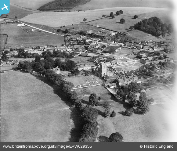
EPW029355 ENGLAND (1929). St Michael's Church and environs, Aldbourne, 1929
© Copyright OpenStreetMap contributors and licensed by the OpenStreetMap Foundation. 2026. Cartography is licensed as CC BY-SA.
Nearby Images (5)
EPW029355

EPW029350

EPW029351

EPW029354

EPW029353

Details
| Title | [EPW029355] St Michael's Church and environs, Aldbourne, 1929 |
| Reference | EPW029355 |
| Date | September-1929 |
| Link | |
| Place name | ALDBOURNE |
| Parish | ALDBOURNE |
| District | |
| Country | ENGLAND |
| Easting / Northing | 426415, 175846 |
| Longitude / Latitude | -1.61957570665, 51.48046712706 |
| National Grid Reference | SU264758 |
Pins
Be the first to add a comment to this image!