
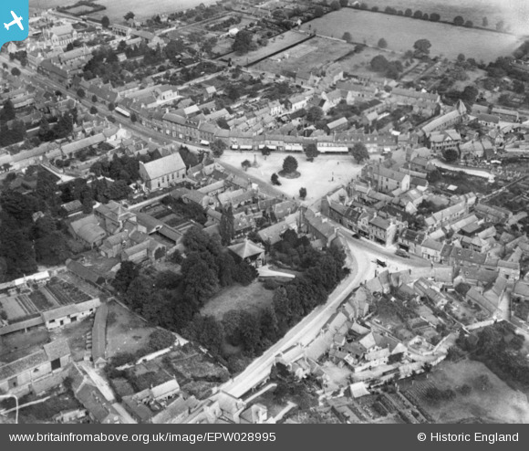
EPW028995 ENGLAND (1929). The Market Place, Olney, 1929. This image has been produced from a copy-negative.
© Copyright OpenStreetMap contributors and licensed by the OpenStreetMap Foundation. 2026. Cartography is licensed as CC BY-SA.
Nearby Images (5)
EPW028995

EPW029000

EPW029003

EAW037768

EPW034323

Details
| Title | [EPW028995] The Market Place, Olney, 1929. This image has been produced from a copy-negative. |
| Reference | EPW028995 |
| Date | 6-September-1929 |
| Link | |
| Place name | OLNEY |
| Parish | OLNEY |
| District | |
| Country | ENGLAND |
| Easting / Northing | 488879, 251278 |
| Longitude / Latitude | -0.70077871028748, 52.152214597967 |
| National Grid Reference | SP889513 |
Pins

melgibbs |
Tuesday 24th of February 2015 09:39:43 PM |