
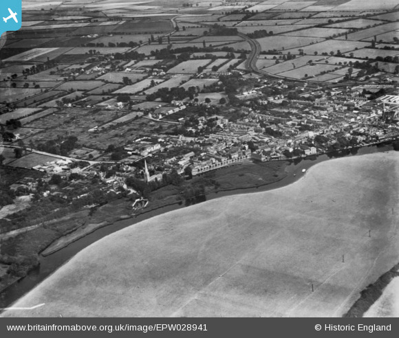
EPW028941 ENGLAND (1929). The town, St Ives, 1929. This image has been produced from a print.
© Copyright OpenStreetMap contributors and licensed by the OpenStreetMap Foundation. 2026. Cartography is licensed as CC BY-SA.
Nearby Images (5)
EPW028941

EPW014456

EPW028937

EPW014455

EPW014450

Details
| Title | [EPW028941] The town, St Ives, 1929. This image has been produced from a print. |
| Reference | EPW028941 |
| Date | September-1929 |
| Link | |
| Place name | ST IVES |
| Parish | SAINT IVES |
| District | |
| Country | ENGLAND |
| Easting / Northing | 531112, 271520 |
| Longitude / Latitude | -0.075883917443524, 52.325703198665 |
| National Grid Reference | TL311715 |
Pins
Be the first to add a comment to this image!