
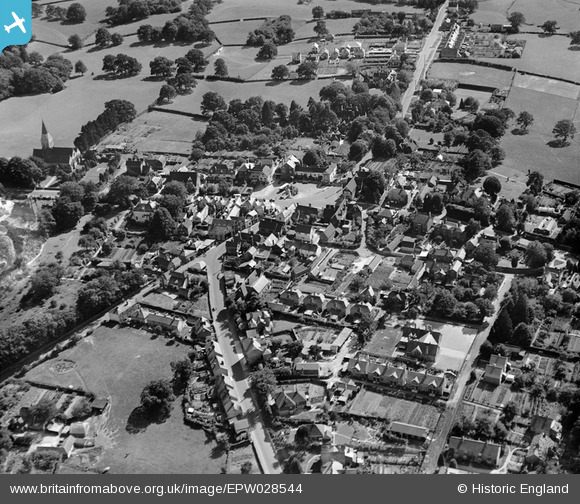
EPW028544 ENGLAND (1929). The town centre, Hawkhurst, 1929
© Copyright OpenStreetMap contributors and licensed by the OpenStreetMap Foundation. 2025. Cartography is licensed as CC BY-SA.
Nearby Images (3)
EPW028544

EPW028548

EPW028545

Details
| Title | [EPW028544] The town centre, Hawkhurst, 1929 |
| Reference | EPW028544 |
| Date | August-1929 |
| Link | |
| Place name | HAWKHURST |
| Parish | HAWKHURST |
| District | |
| Country | ENGLAND |
| Easting / Northing | 576025, 130609 |
| Longitude / Latitude | 0.51152700818916, 51.047285366283 |
| National Grid Reference | TQ760306 |
Pins
 Tom Burnham |
Monday 3rd of February 2014 09:46:25 PM | |
Tom Burnham |
Monday 3rd of February 2014 09:45:38 PM | |
Tom Burnham |
Monday 3rd of February 2014 09:41:24 PM |