
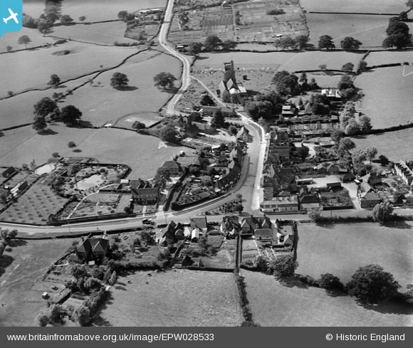
EPW028533 ENGLAND (1929). All Saints' Church and the High Street, Biddenden, 1929
© Copyright OpenStreetMap contributors and licensed by the OpenStreetMap Foundation. 2026. Cartography is licensed as CC BY-SA.
Nearby Images (6)
EPW028533

EPW028531

EPW028534

EPW028530

EPW028529

EPW028532

Details
| Title | [EPW028533] All Saints' Church and the High Street, Biddenden, 1929 |
| Reference | EPW028533 |
| Date | August-1929 |
| Link | |
| Place name | BIDDENDEN |
| Parish | BIDDENDEN |
| District | |
| Country | ENGLAND |
| Easting / Northing | 585051, 138374 |
| Longitude / Latitude | 0.64414331520304, 51.114205986471 |
| National Grid Reference | TQ851384 |
Pins
Be the first to add a comment to this image!