
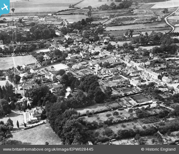
EPW028445 ENGLAND (1929). The village, Linton, 1929. This image has been produced from a copy-negative.
© Copyright OpenStreetMap contributors and licensed by the OpenStreetMap Foundation. 2026. Cartography is licensed as CC BY-SA.
Nearby Images (5)
EPW028445

EPW028447

EPW028453

EPW028449

EPW028454

Details
| Title | [EPW028445] The village, Linton, 1929. This image has been produced from a copy-negative. |
| Reference | EPW028445 |
| Date | August-1929 |
| Link | |
| Place name | LINTON |
| Parish | LINTON |
| District | |
| Country | ENGLAND |
| Easting / Northing | 556445, 246745 |
| Longitude / Latitude | 0.2841407184026, 52.096481768374 |
| National Grid Reference | TL564467 |
Pins
Be the first to add a comment to this image!