
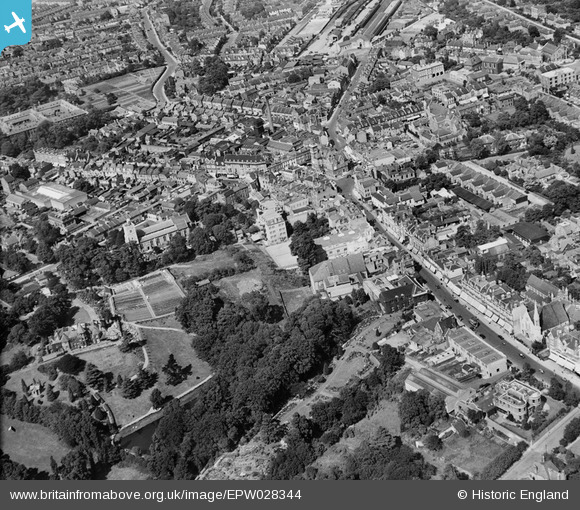
EPW028344 ENGLAND (1929). The town centre, Bromley, 1929
© Copyright OpenStreetMap contributors and licensed by the OpenStreetMap Foundation. 2026. Cartography is licensed as CC BY-SA.
Nearby Images (4)
EPW028344

 0°
0m
0°
0m
EPW028350
 351°
66m
351°
66m
EPW028348
 11°
114m
11°
114m
EPW028351
 183°
237m
183°
237m
Details
| Title | [EPW028344] The town centre, Bromley, 1929 |
| Reference | EPW028344 |
| Date | August-1929 |
| Link | |
| Place name | BROMLEY |
| Parish | |
| District | |
| Country | ENGLAND |
| Easting / Northing | 540207, 169232 |
| Longitude / Latitude | 0.015968159009391, 51.404267776212 |
| National Grid Reference | TQ402692 |

 The free Carnegie Library pulled down in 1969 in what can only be called an act of vandalism by the local council.