
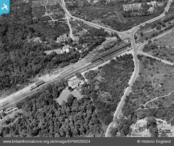
EPW028324 ENGLAND (1929). The station and The Heath, Weybridge, 1929
© Copyright OpenStreetMap contributors and licensed by the OpenStreetMap Foundation. 2026. Cartography is licensed as CC BY-SA.
Nearby Images (5)
EPW028324

EPW023386

EPW023389

EPW028325

EPW017544

Details
| Title | [EPW028324] The station and The Heath, Weybridge, 1929 |
| Reference | EPW028324 |
| Date | August-1929 |
| Link | |
| Place name | WEYBRIDGE |
| Parish | |
| District | |
| Country | ENGLAND |
| Easting / Northing | 507449, 163588 |
| Longitude / Latitude | -0.45653922413952, 51.36068574557 |
| National Grid Reference | TQ074636 |
