
EPW028303 ENGLAND (1929). Bexleyheath Station, Old Bexley, 1929

© Copyright OpenStreetMap contributors and licensed by the OpenStreetMap Foundation. 2026. Cartography is licensed as CC BY-SA.
Nearby Images (5)
EPW028303

EPW028297

EPW028301

EPW028302

EPW028299

Details
| Title | [EPW028303] Bexleyheath Station, Old Bexley, 1929 |
| Reference | EPW028303 |
| Date | August-1929 |
| Link | |
| Place name | OLD BEXLEY |
| Parish | |
| District | |
| Country | ENGLAND |
| Easting / Northing | 549365, 173474 |
| Longitude / Latitude | 0.14933833467307, 51.440049577697 |
| National Grid Reference | TQ494735 |
Pins

Pierre |
Saturday 11th of January 2020 12:24:43 PM | |
|
Tom Burnham |
Sunday 26th of July 2015 11:04:45 PM | |
|
Tom Burnham |
Sunday 26th of July 2015 11:00:28 PM | |

Barney |
Tuesday 21st of July 2015 01:02:02 PM | |
|
Barney |
Tuesday 21st of July 2015 12:58:06 PM | |
|
John Wass |
Sunday 29th of March 2015 08:50:09 PM | |
|
John Wass |
Sunday 29th of March 2015 08:49:28 PM | |
|
Gone2Kent |
Friday 27th of December 2013 08:37:50 AM | |
|
Gone2Kent |
Friday 27th of December 2013 08:32:42 AM | |
 |
Gone2Kent |
Friday 27th of December 2013 08:21:23 AM |
|
Gone2Kent |
Friday 27th of December 2013 08:14:45 AM | |
|
Gone2Kent |
Friday 27th of December 2013 08:10:10 AM |


User Comment Contributions
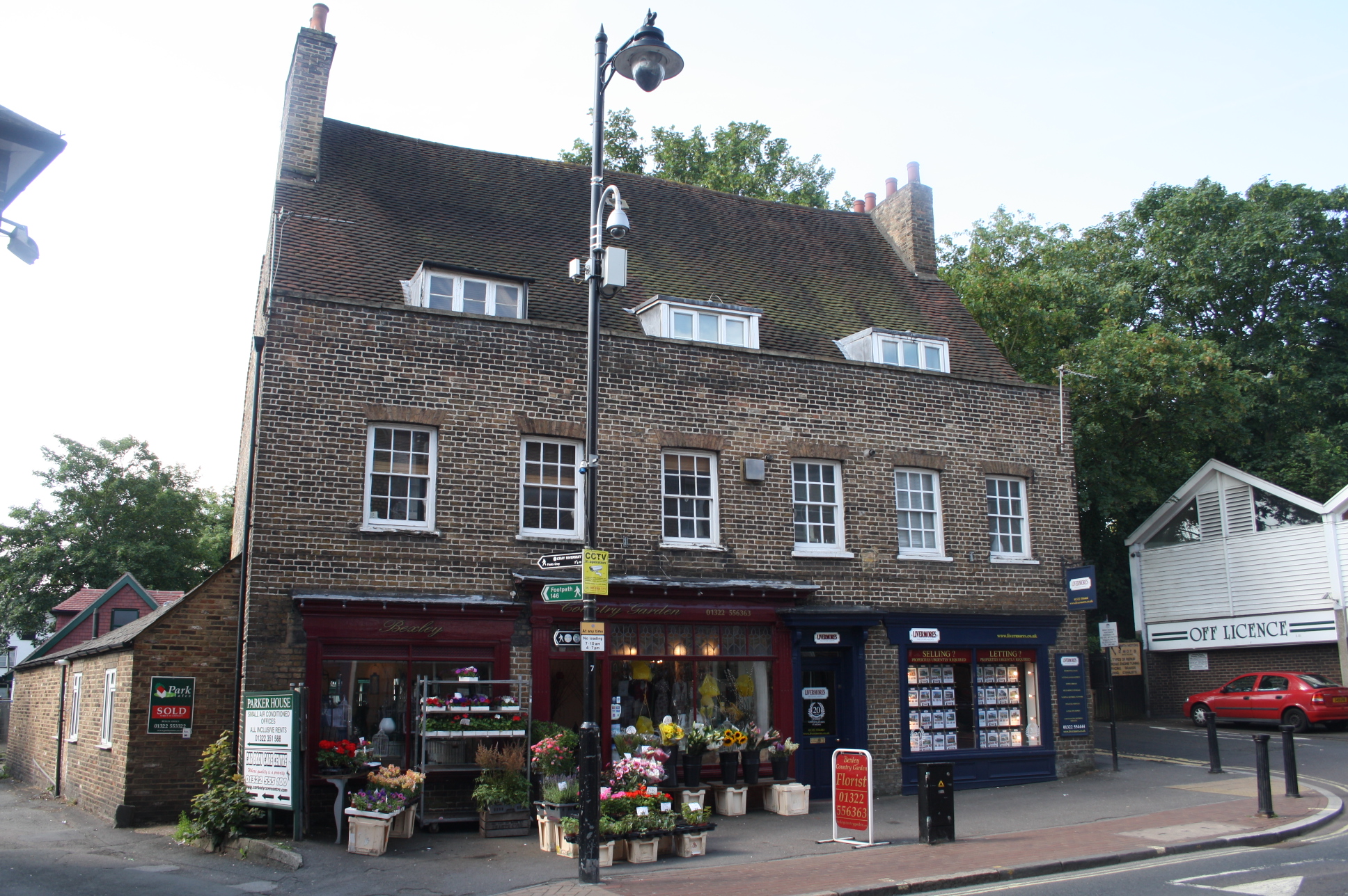
Around the front in Bexley High St |
Gone2Kent |
Friday 27th of December 2013 08:25:25 AM |

It is a listed building as is the telephone kiosk at the side |
Gone2Kent |
Friday 27th of December 2013 08:22:59 AM |
This is Bexley Station, not Bexleyheath which is about 5 miles away. |
Derek S |
Monday 29th of October 2012 06:21:00 PM |