
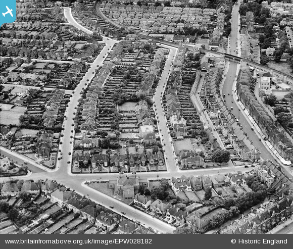
EPW028182 ENGLAND (1929). The Ridgeway, Woodstock Road and surrounding residential area, Golders Green, 1929
© Copyright OpenStreetMap contributors and licensed by the OpenStreetMap Foundation. 2026. Cartography is licensed as CC BY-SA.
Nearby Images (11)
EPW028182

EPW045379

EPW021172

EPW009095

EPW005990

EPW008214

EPW008218
 extension from Golders Green to Hendon and Edgware under construction, Child's Hill, 1922. This image has been produced from a copy-negative.")
EPW028190

EPW005753

EPW028180

EPW009535

Details
| Title | [EPW028182] The Ridgeway, Woodstock Road and surrounding residential area, Golders Green, 1929 |
| Reference | EPW028182 |
| Date | July-1929 |
| Link | |
| Place name | GOLDERS GREEN |
| Parish | |
| District | |
| Country | ENGLAND |
| Easting / Northing | 524935, 187381 |
| Longitude / Latitude | -0.19707283396989, 51.570963046579 |
| National Grid Reference | TQ249874 |
