
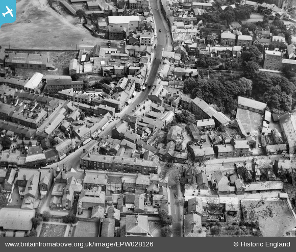
EPW028126 ENGLAND (1929). Bridge Street and environs, Congleton, 1929
© Copyright OpenStreetMap contributors and licensed by the OpenStreetMap Foundation. 2026. Cartography is licensed as CC BY-SA.
Nearby Images (3)
EPW028126

EPW028124

EPW028121

Details
| Title | [EPW028126] Bridge Street and environs, Congleton, 1929 |
| Reference | EPW028126 |
| Date | July-1929 |
| Link | |
| Place name | CONGLETON |
| Parish | CONGLETON |
| District | |
| Country | ENGLAND |
| Easting / Northing | 385791, 362931 |
| Longitude / Latitude | -2.2125478308945, 53.163022469792 |
| National Grid Reference | SJ858629 |
Pins
Be the first to add a comment to this image!