
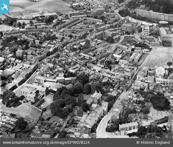
EPW028124 ENGLAND (1929). The town centre, Congleton, 1929
© Copyright OpenStreetMap contributors and licensed by the OpenStreetMap Foundation. 2026. Cartography is licensed as CC BY-SA.
Nearby Images (3)
EPW028124

EPW028126

EPW028121

Details
| Title | [EPW028124] The town centre, Congleton, 1929 |
| Reference | EPW028124 |
| Date | July-1929 |
| Link | |
| Place name | CONGLETON |
| Parish | CONGLETON |
| District | |
| Country | ENGLAND |
| Easting / Northing | 385808, 362937 |
| Longitude / Latitude | -2.2122938014647, 53.163076862724 |
| National Grid Reference | SJ858629 |
Pins

ejane901 |
Thursday 20th of April 2023 11:40:22 AM | |
|
ejane901 |
Thursday 20th of April 2023 11:39:44 AM | |
|
ejane901 |
Thursday 20th of April 2023 11:35:24 AM | |
|
ejane901 |
Thursday 20th of April 2023 11:34:48 AM | |
|
ejane901 |
Thursday 20th of April 2023 11:33:36 AM | |
|
Rob |
Wednesday 2nd of May 2018 04:10:00 PM | |
|
Rob |
Sunday 29th of April 2018 09:57:49 PM | |
|
Rob |
Sunday 29th of April 2018 09:56:52 PM | |
|
Rob |
Sunday 29th of April 2018 09:54:59 PM | |
|
John |
Thursday 21st of May 2015 10:32:13 AM | |
|
John |
Thursday 21st of May 2015 10:32:10 AM |

