
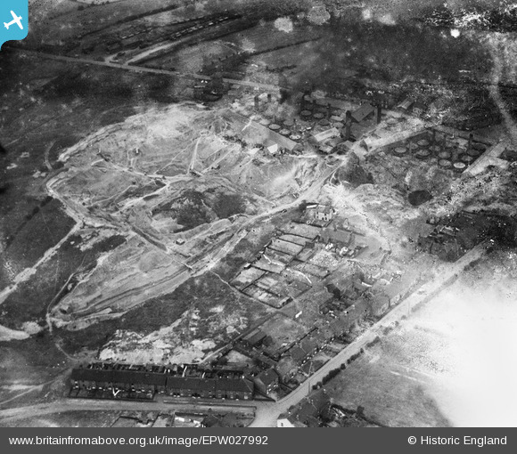
EPW027992 ENGLAND (1929). The Chesterton Tileries, Chesterton, 1929
© Copyright OpenStreetMap contributors and licensed by the OpenStreetMap Foundation. 2025. Cartography is licensed as CC BY-SA.
Nearby Images (9)
EPW027992

EPW027991

EPW038507

EPW027993

EPW038505

EPW038504

EPW027796

EPW038503

EPW038506

Details
| Title | [EPW027992] The Chesterton Tileries, Chesterton, 1929 |
| Reference | EPW027992 |
| Date | July-1929 |
| Link | |
| Place name | CHESTERTON |
| Parish | |
| District | |
| Country | ENGLAND |
| Easting / Northing | 382894, 349322 |
| Longitude / Latitude | -2.2551576938858, 53.04059270846 |
| National Grid Reference | SJ829493 |
Pins
Be the first to add a comment to this image!