
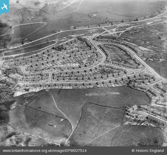
EPW027514 ENGLAND (1929). Norton Road and environs, Rochdale, 1929
© Copyright OpenStreetMap contributors and licensed by the OpenStreetMap Foundation. 2026. Cartography is licensed as CC BY-SA.
Nearby Images (3)
EPW027514

EPW027519

EPW027516

Details
| Title | [EPW027514] Norton Road and environs, Rochdale, 1929 |
| Reference | EPW027514 |
| Date | 11-June-1929 |
| Link | |
| Place name | ROCHDALE |
| Parish | |
| District | |
| Country | ENGLAND |
| Easting / Northing | 389679, 415289 |
| Longitude / Latitude | -2.1561018161707, 53.633788578721 |
| National Grid Reference | SD897153 |
Pins

MeMyselfAndI |
Friday 24th of July 2020 09:04:24 PM | |
|
David |
Wednesday 30th of April 2014 09:51:23 AM | |
|
David |
Wednesday 30th of April 2014 09:50:12 AM | |
|
David |
Wednesday 30th of April 2014 09:49:31 AM | |
|
David |
Wednesday 30th of April 2014 09:48:42 AM | |

Class31 |
Wednesday 6th of February 2013 05:19:51 PM | |
|
Class31 |
Wednesday 6th of February 2013 05:16:54 PM | |
|
Class31 |
Wednesday 6th of February 2013 05:16:21 PM |