
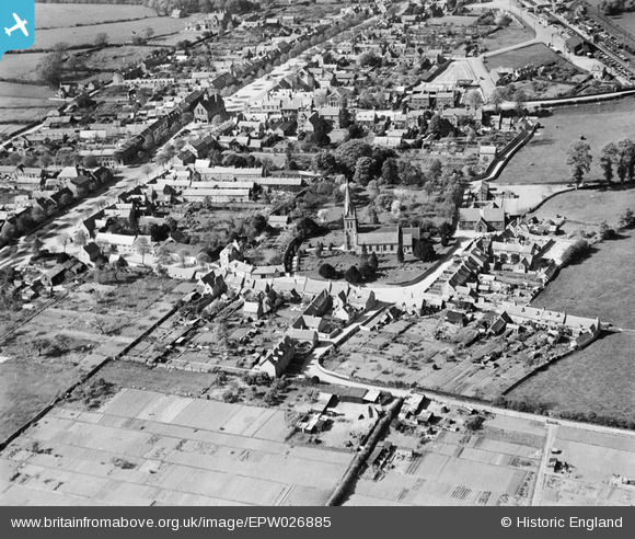
EPW026885 ENGLAND (1929). St David's Church and environs, Moreton-in-Marsh, 1929
© Copyright OpenStreetMap contributors and licensed by the OpenStreetMap Foundation. 2026. Cartography is licensed as CC BY-SA.
Nearby Images (8)
EPW026885

EAW049006

EAW049005

EAW049007

EPW026884

EPW026878

EPW026879

EPW026877

Details
| Title | [EPW026885] St David's Church and environs, Moreton-in-Marsh, 1929 |
| Reference | EPW026885 |
| Date | May-1929 |
| Link | |
| Place name | MORETON-IN-MARSH |
| Parish | MORETON-IN-MARSH |
| District | |
| Country | ENGLAND |
| Easting / Northing | 420585, 232227 |
| Longitude / Latitude | -1.7002011356679, 51.987688829592 |
| National Grid Reference | SP206322 |
Pins
Be the first to add a comment to this image!