
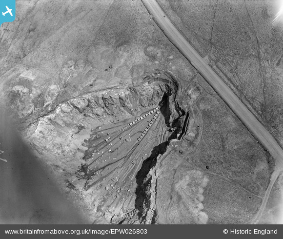
EPW026803 ENGLAND (1929). Shap Blue Rock Quarry, Shap, 1929
© Copyright OpenStreetMap contributors and licensed by the OpenStreetMap Foundation. 2025. Cartography is licensed as CC BY-SA.
Nearby Images (7)
EPW026803

EPW026801

EPW026800

EPW026802

EPW026799

EPW026804

EPW026798

Details
| Title | [EPW026803] Shap Blue Rock Quarry, Shap, 1929 |
| Reference | EPW026803 |
| Date | May-1929 |
| Link | |
| Place name | SHAP |
| Parish | SHAP |
| District | |
| Country | ENGLAND |
| Easting / Northing | 356571, 510726 |
| Longitude / Latitude | -2.6705027924452, 54.489877697731 |
| National Grid Reference | NY566107 |
Pins
 Martin |
Monday 27th of January 2014 03:55:55 PM |