
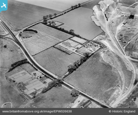
EPW026638 ENGLAND (1929). Houses on the London Road to the west of Thurrock Chalk Quarries, West Thurrock, 1929
© Copyright OpenStreetMap contributors and licensed by the OpenStreetMap Foundation. 2026. Cartography is licensed as CC BY-SA.
Nearby Images (44)
EPW026638

EPW026642

EPW026637

EAW041095

EAW041092

EPW061840

EPW061841

EAW041089

EPW061839

EAW021518

EPW061838

EPW027526

EAW021516

EAW021519
, West Thurrock, 1949. This image has been produced from a damaged negative.")
EPW061843

EAW041087

EPW061842

EAW021517

EAW021515

EAW041088

EAW021522

EPW027529

EAW021513

EAW041191

EAW002394

EAW041188

EAW041094

EAW041090

EAW021511

EAW041185

EAW021512

EAW041187

EAW041189

EAW002392

EAW002389

EAW002395

EAW041192

EAW041186

EAW021514

EAW041184

EAW021521

EAW041183

EAW041096

EAW002391

Details
| Title | [EPW026638] Houses on the London Road to the west of Thurrock Chalk Quarries, West Thurrock, 1929 |
| Reference | EPW026638 |
| Date | May-1929 |
| Link | |
| Place name | WEST THURROCK |
| Parish | |
| District | |
| Country | ENGLAND |
| Easting / Northing | 557259, 177881 |
| Longitude / Latitude | 0.26479881632405, 51.477512139954 |
| National Grid Reference | TQ573779 |
Pins
Be the first to add a comment to this image!