
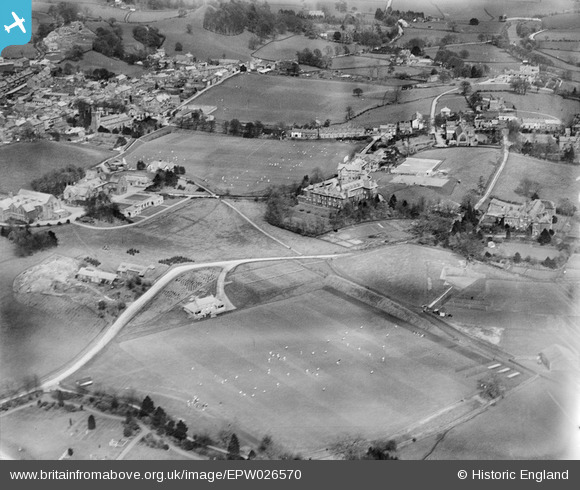
EPW026570 ENGLAND (1929). Sedbergh School, Sedbergh, 1929
© Copyright OpenStreetMap contributors and licensed by the OpenStreetMap Foundation. 2026. Cartography is licensed as CC BY-SA.
Nearby Images (4)
EPW026570

EPW026567

EPW026565

EPW026568

Details
| Title | [EPW026570] Sedbergh School, Sedbergh, 1929 |
| Reference | EPW026570 |
| Date | May-1929 |
| Link | |
| Place name | SEDBERGH |
| Parish | SEDBERGH |
| District | |
| Country | ENGLAND |
| Easting / Northing | 365560, 491801 |
| Longitude / Latitude | -2.5295327728334, 54.320475121622 |
| National Grid Reference | SD656918 |
Pins
Be the first to add a comment to this image!