
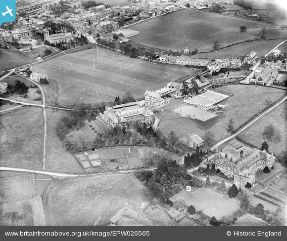
EPW026565 ENGLAND (1929). Sedbergh School, Sedbergh, 1929
© Copyright OpenStreetMap contributors and licensed by the OpenStreetMap Foundation. 2026. Cartography is licensed as CC BY-SA.
Nearby Images (4)
EPW026565

EPW026567

EPW026570

EPW026568

Details
| Title | [EPW026565] Sedbergh School, Sedbergh, 1929 |
| Reference | EPW026565 |
| Date | May-1929 |
| Link | |
| Place name | SEDBERGH |
| Parish | SEDBERGH |
| District | |
| Country | ENGLAND |
| Easting / Northing | 365637, 491780 |
| Longitude / Latitude | -2.5283464953704, 54.320291566674 |
| National Grid Reference | SD656918 |
Pins

HughChev |
Friday 14th of June 2013 05:29:40 PM |