
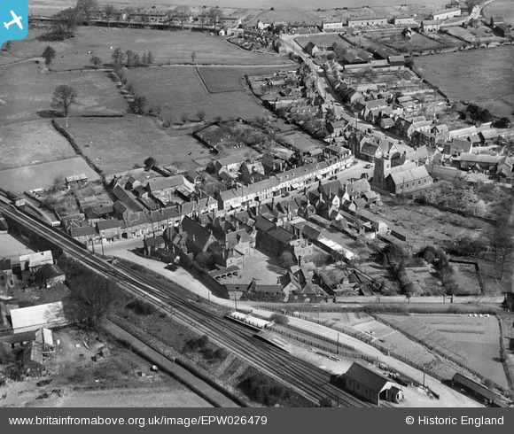
EPW026479 ENGLAND (1929). The High Street, Shefford, 1929
© Copyright OpenStreetMap contributors and licensed by the OpenStreetMap Foundation. 2025. Cartography is licensed as CC BY-SA.
Nearby Images (5)
EPW026479

EPW026483

EPW026482

EPW026477

EPW026480

Details
| Title | [EPW026479] The High Street, Shefford, 1929 |
| Reference | EPW026479 |
| Date | May-1929 |
| Link | |
| Place name | SHEFFORD |
| Parish | SHEFFORD |
| District | |
| Country | ENGLAND |
| Easting / Northing | 514279, 239049 |
| Longitude / Latitude | -0.33373752008021, 52.037630159086 |
| National Grid Reference | TL143390 |
Pins

John W |
Friday 23rd of December 2016 09:33:39 PM | |
|
John W |
Friday 23rd of December 2016 09:33:10 PM | |
|
John W |
Friday 23rd of December 2016 09:32:12 PM | |
|
John W |
Friday 23rd of December 2016 09:30:46 PM | |
|
Deleted User |
Monday 8th of December 2014 02:26:53 PM | |
|
Davidxander |
Wednesday 3rd of September 2014 09:17:00 PM |