
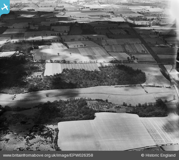
EPW026358 ENGLAND (1929). Mar Dyke, Brannett's Wood and surrounding countryside, South Ockendon, 1929
© Copyright OpenStreetMap contributors and licensed by the OpenStreetMap Foundation. 2026. Cartography is licensed as CC BY-SA.
Nearby Images (7)
EPW026358

EAW052918

EAW052920

EAW052919

EAW052916

EAW052917

EAW052915

Details
| Title | [EPW026358] Mar Dyke, Brannett's Wood and surrounding countryside, South Ockendon, 1929 |
| Reference | EPW026358 |
| Date | April-1929 |
| Link | |
| Place name | SOUTH OCKENDON |
| Parish | |
| District | |
| Country | ENGLAND |
| Easting / Northing | 558709, 180429 |
| Longitude / Latitude | 0.28680916327143, 51.500001843211 |
| National Grid Reference | TQ587804 |
Pins
Be the first to add a comment to this image!