
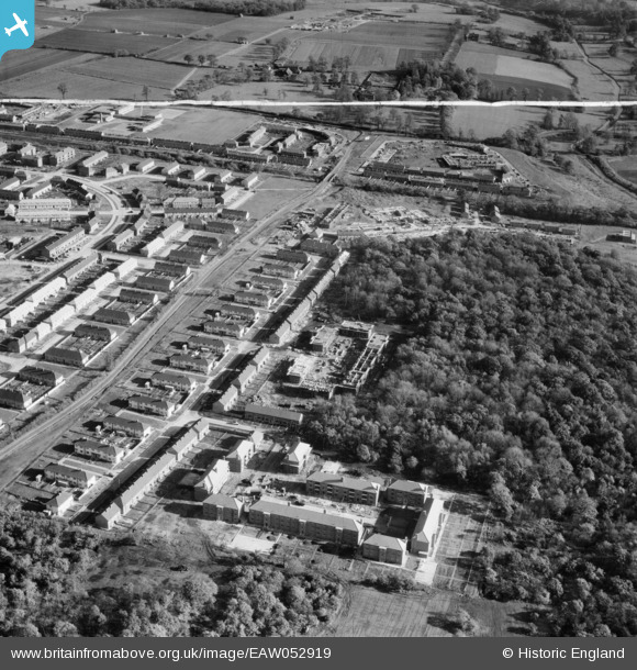
EAW052919 ENGLAND (1953). Housing under construction off Cherwell Grove, South Ockendon, 1953. This image was marked by Aerofilms Ltd for photo editing.
© Copyright OpenStreetMap contributors and licensed by the OpenStreetMap Foundation. 2026. Cartography is licensed as CC BY-SA.
Nearby Images (7)
EAW052919

EAW052916

EAW052920

EPW026358

EAW052915

EAW052918

EAW052917

Details
| Title | [EAW052919] Housing under construction off Cherwell Grove, South Ockendon, 1953. This image was marked by Aerofilms Ltd for photo editing. |
| Reference | EAW052919 |
| Date | 3-November-1953 |
| Link | |
| Place name | SOUTH OCKENDON |
| Parish | |
| District | |
| Country | ENGLAND |
| Easting / Northing | 558741, 180545 |
| Longitude / Latitude | 0.28732205359808, 51.50103515508 |
| National Grid Reference | TQ587805 |
Pins
Be the first to add a comment to this image!