
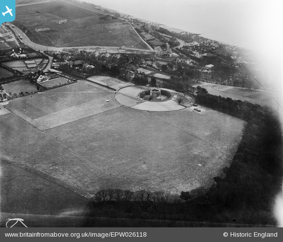
EPW026118 ENGLAND (1929). Martello Tower Number 5 and surroundings, Sandgate, 1929
© Copyright OpenStreetMap contributors and licensed by the OpenStreetMap Foundation. 2026. Cartography is licensed as CC BY-SA.
Nearby Images (2)
EPW026118

EPW000585

Details
| Title | [EPW026118] Martello Tower Number 5 and surroundings, Sandgate, 1929 |
| Reference | EPW026118 |
| Date | April-1929 |
| Link | |
| Place name | SANDGATE |
| Parish | SANDGATE |
| District | |
| Country | ENGLAND |
| Easting / Northing | 620745, 135589 |
| Longitude / Latitude | 1.1517027624883, 51.07656293028 |
| National Grid Reference | TR207356 |
