
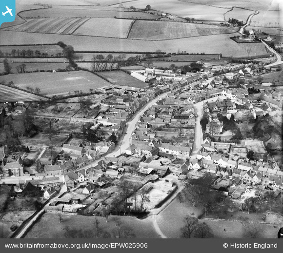
EPW025906 ENGLAND (1929). The town centre, Lavenham, 1929
© Copyright OpenStreetMap contributors and licensed by the OpenStreetMap Foundation. 2026. Cartography is licensed as CC BY-SA.
Nearby Images (13)
EPW025906

EAW033351

EAW033347

EPW025904

EAW033352

EAW033349

EAW033348

EPW025905

EAW033346

EPW025902

EPW039752

EAW033350

EPW039753

Details
| Title | [EPW025906] The town centre, Lavenham, 1929 |
| Reference | EPW025906 |
| Date | 3-April-1929 |
| Link | |
| Place name | LAVENHAM |
| Parish | LAVENHAM |
| District | |
| Country | ENGLAND |
| Easting / Northing | 591529, 249245 |
| Longitude / Latitude | 0.79718244036029, 52.107903800255 |
| National Grid Reference | TL915492 |
Pins
Be the first to add a comment to this image!