
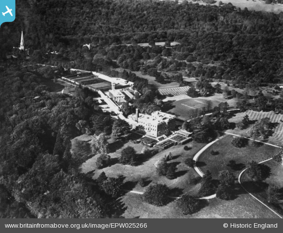
EPW025266 ENGLAND (1928). Denbies, Ranmore Common, 1928. This image has been produced from a copy-negative.
© Copyright OpenStreetMap contributors and licensed by the OpenStreetMap Foundation. 2026. Cartography is licensed as CC BY-SA.
Nearby Images (2)
EPW025266

EPW057022

Details
| Title | [EPW025266] Denbies, Ranmore Common, 1928. This image has been produced from a copy-negative. |
| Reference | EPW025266 |
| Date | October-1928 |
| Link | |
| Place name | RANMORE COMMON |
| Parish | WOTTON |
| District | |
| Country | ENGLAND |
| Easting / Northing | 514965, 150429 |
| Longitude / Latitude | -0.3528616285863, 51.240926682139 |
| National Grid Reference | TQ150504 |
Pins
Be the first to add a comment to this image!