
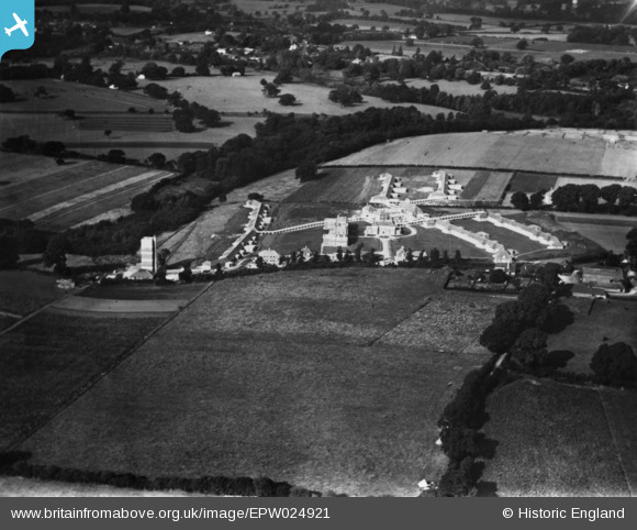
EPW024921 ENGLAND (1928). The Surrey County Sanatorium, Tuesley, 1928. This image has been produced from a print.
© Copyright OpenStreetMap contributors and licensed by the OpenStreetMap Foundation. 2026. Cartography is licensed as CC BY-SA.
Nearby Images (15)
EPW024921

EPW024923

EPW024930

EPW023440

EPW024587

EPW023435

EPW024594

EPW024590

EPW024589

EPW024922

EPW024592

EPW023437

EPW024588

EPW024593

EPW023436

Details
| Title | [EPW024921] The Surrey County Sanatorium, Tuesley, 1928. This image has been produced from a print. |
| Reference | EPW024921 |
| Date | 3-October-1928 |
| Link | |
| Place name | TUESLEY |
| Parish | BUSBRIDGE |
| District | |
| Country | ENGLAND |
| Easting / Northing | 496202, 141736 |
| Longitude / Latitude | -0.62392448427266, 51.166247161762 |
| National Grid Reference | SU962417 |
Pins
Be the first to add a comment to this image!