EPW024665 ENGLAND (1928). The Town Hall and Market Place, Petworth, 1928
© Copyright OpenStreetMap contributors and licensed by the OpenStreetMap Foundation. 2026. Cartography is licensed as CC BY-SA.
Nearby Images (6)
Details
| Title | [EPW024665] The Town Hall and Market Place, Petworth, 1928 |
| Reference | EPW024665 |
| Date | September-1928 |
| Link | |
| Place name | PETWORTH |
| Parish | PETWORTH |
| District | |
| Country | ENGLAND |
| Easting / Northing | 497674, 121679 |
| Longitude / Latitude | -0.60829640256906, 50.985675297194 |
| National Grid Reference | SU977217 |
Pins

David960 |
Monday 26th of January 2015 07:08:35 PM | |

David960 |
Monday 26th of January 2015 07:07:53 PM | |

David960 |
Monday 26th of January 2015 07:05:51 PM | |

David960 |
Monday 26th of January 2015 07:02:00 PM | |

David960 |
Monday 26th of January 2015 07:00:05 PM | |

Andy |
Wednesday 11th of December 2013 08:38:32 PM |
User Comment Contributions

David960 |
Monday 26th of January 2015 07:09:38 PM | |

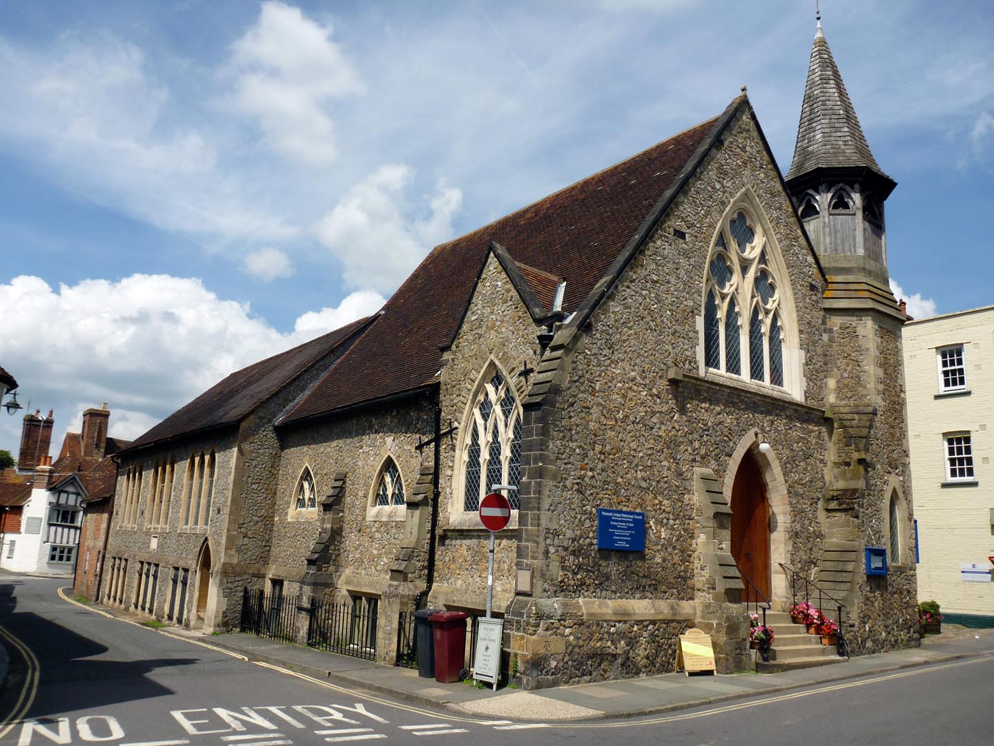
Petworth United Reformed Church |

Alan McFaden |
Wednesday 10th of September 2014 10:25:28 AM |

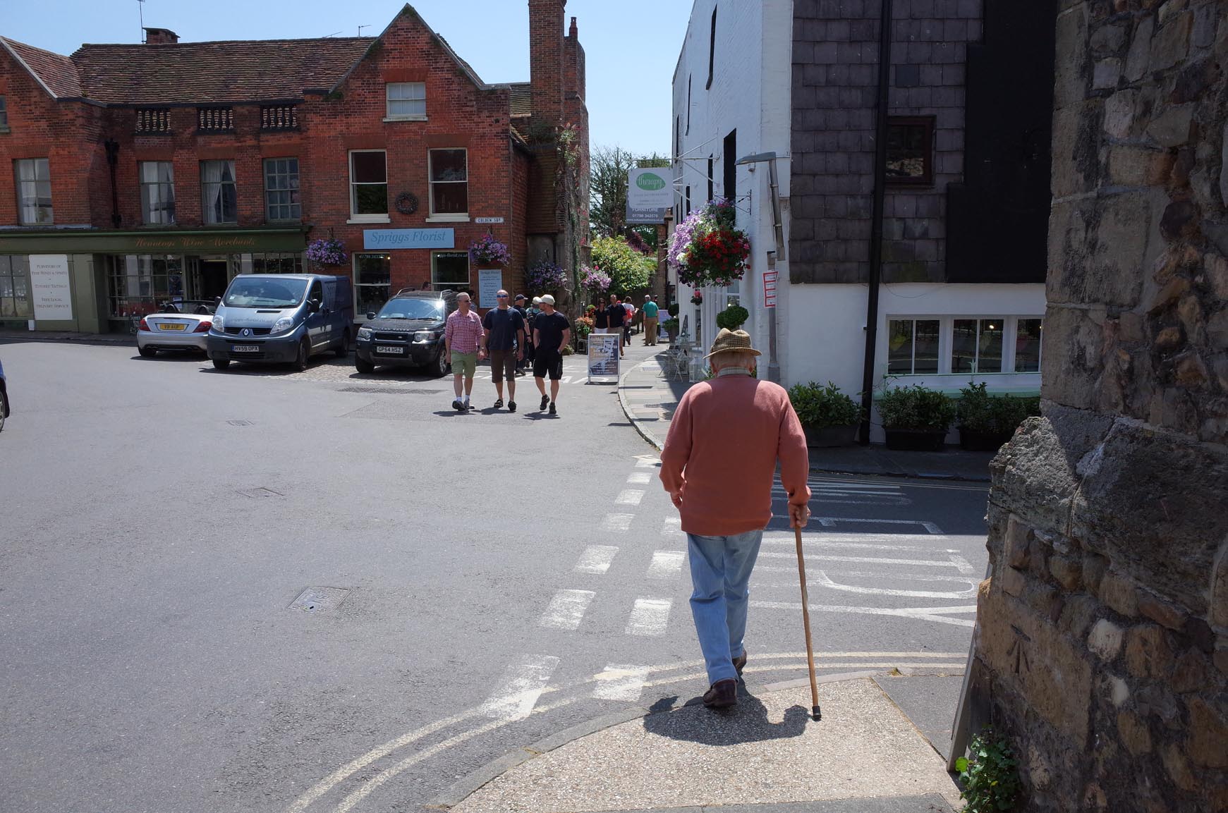
Petworth |

Alan McFaden |
Wednesday 10th of September 2014 10:16:29 AM |

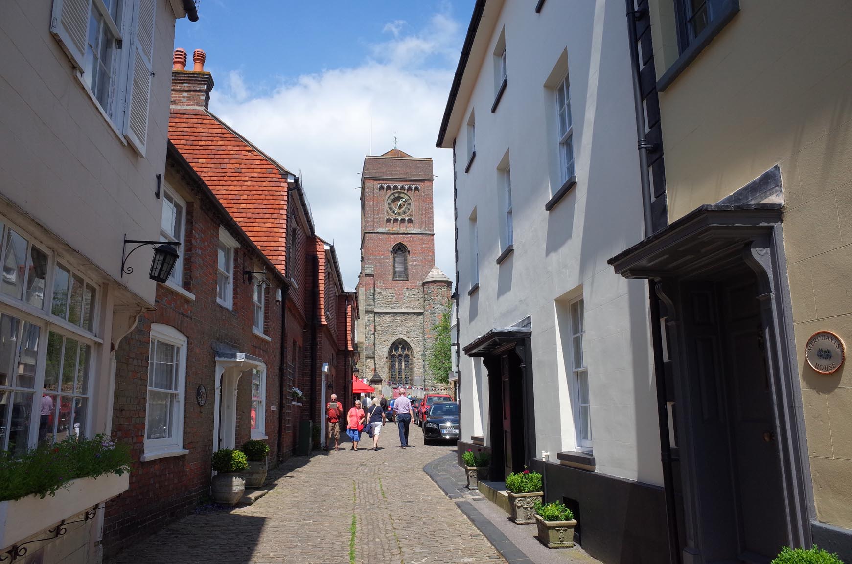
Petworth |

Alan McFaden |
Wednesday 10th of September 2014 10:16:12 AM |

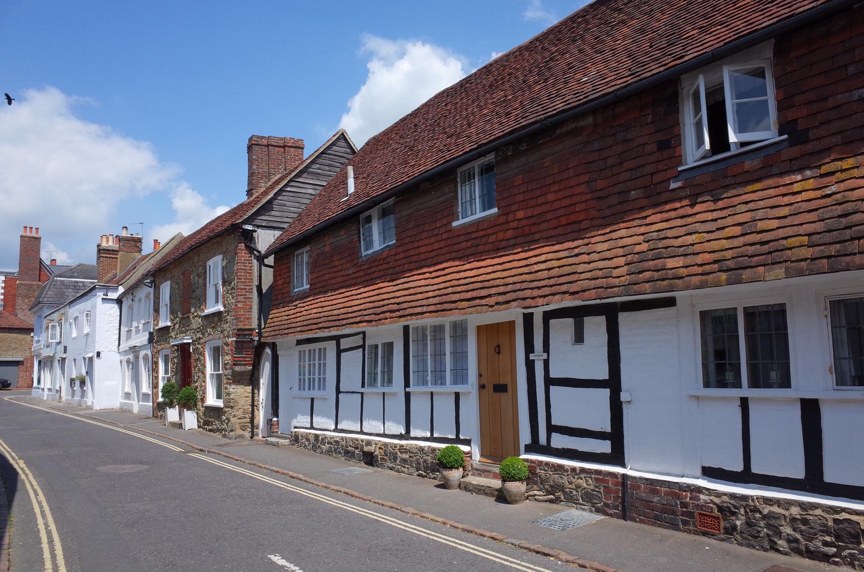
Petworth |

Alan McFaden |
Wednesday 10th of September 2014 10:15:50 AM |


![[EPW024665] The Town Hall and Market Place, Petworth, 1928](http://britainfromabove.org.uk/sites/all/libraries/aerofilms-images/public/100x100/EPW/024/EPW024665.jpg)
![[EPW024667] East Street and Middle Street, Petworth, 1928](http://britainfromabove.org.uk/sites/all/libraries/aerofilms-images/public/100x100/EPW/024/EPW024667.jpg)
![[EPW024664] St Mary's Church, Petworth, 1928](http://britainfromabove.org.uk/sites/all/libraries/aerofilms-images/public/100x100/EPW/024/EPW024664.jpg)
![[EPW024660] Petworth House and St Mary's Church, Petworth, 1928. This image has been produced from a damaged negative.](http://britainfromabove.org.uk/sites/all/libraries/aerofilms-images/public/100x100/EPW/024/EPW024660.jpg)
![[EPW024662] Petworth House and St Mary's Church, Petworth, 1928](http://britainfromabove.org.uk/sites/all/libraries/aerofilms-images/public/100x100/EPW/024/EPW024662.jpg)
![[EPW024668] The town, Petworth, from the south-west, 1928](http://britainfromabove.org.uk/sites/all/libraries/aerofilms-images/public/100x100/EPW/024/EPW024668.jpg)
