
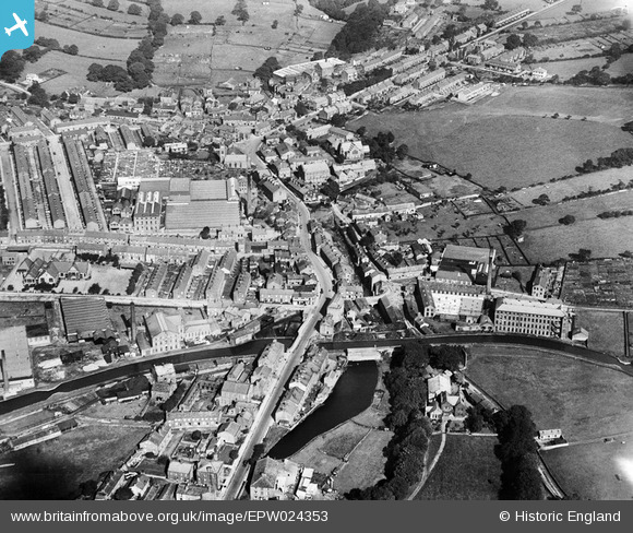
EPW024353 ENGLAND (1928). Kirkgate and environs, Silsden, 1928
© Copyright OpenStreetMap contributors and licensed by the OpenStreetMap Foundation. 2025. Cartography is licensed as CC BY-SA.
Nearby Images (6)
EPW024353

EPW024354

EPW024356
 and environs, Silsden, 1928")
EPW024358
 and St James's Church, Silsden, 1928")
EPW024359

EPW024352A
 and environs, Silsden, 1928")
Details
| Title | [EPW024353] Kirkgate and environs, Silsden, 1928 |
| Reference | EPW024353 |
| Date | September-1928 |
| Link | |
| Place name | SILSDEN |
| Parish | SILSDEN |
| District | |
| Country | ENGLAND |
| Easting / Northing | 404197, 446274 |
| Longitude / Latitude | -1.9360999943521, 53.912399077977 |
| National Grid Reference | SE042463 |
Pins

brookfield |
Saturday 30th of May 2015 09:42:39 PM |