
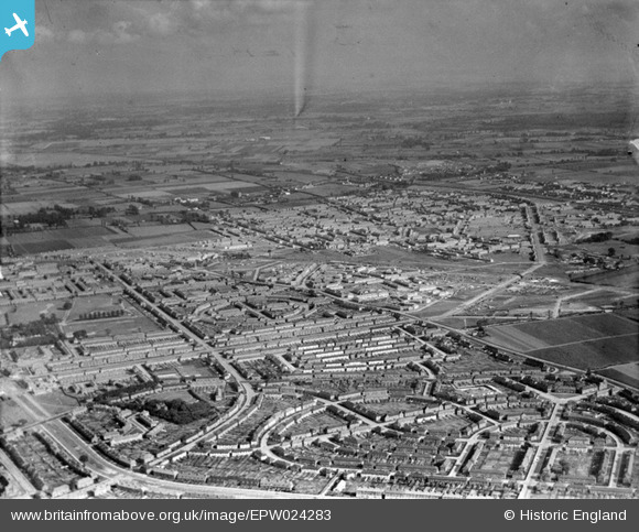
EPW024283 ENGLAND (1928). Housing surrounding Lindisfarne Road, Becontree, from the north-west, 1928
© Copyright OpenStreetMap contributors and licensed by the OpenStreetMap Foundation. 2026. Cartography is licensed as CC BY-SA.
Nearby Images (3)
EPW024283

EPW009715

EPW009713

Details
| Title | [EPW024283] Housing surrounding Lindisfarne Road, Becontree, from the north-west, 1928 |
| Reference | EPW024283 |
| Date | September-1928 |
| Link | |
| Place name | BECONTREE |
| Parish | |
| District | |
| Country | ENGLAND |
| Easting / Northing | 547760, 186029 |
| Longitude / Latitude | 0.13151813816359, 51.553293565974 |
| National Grid Reference | TQ478860 |
Pins

rac |
Wednesday 6th of August 2014 09:51:02 PM | |
|
rac |
Sunday 3rd of August 2014 07:27:19 PM | |
|
rac |
Saturday 2nd of August 2014 07:10:13 PM | |
|
rac |
Saturday 2nd of August 2014 07:09:07 PM | |
|
windblown |
Saturday 16th of February 2013 09:59:52 AM | |
|
windblown |
Saturday 16th of February 2013 09:57:10 AM | |
|
steve _b |
Saturday 30th of June 2012 06:01:37 PM |