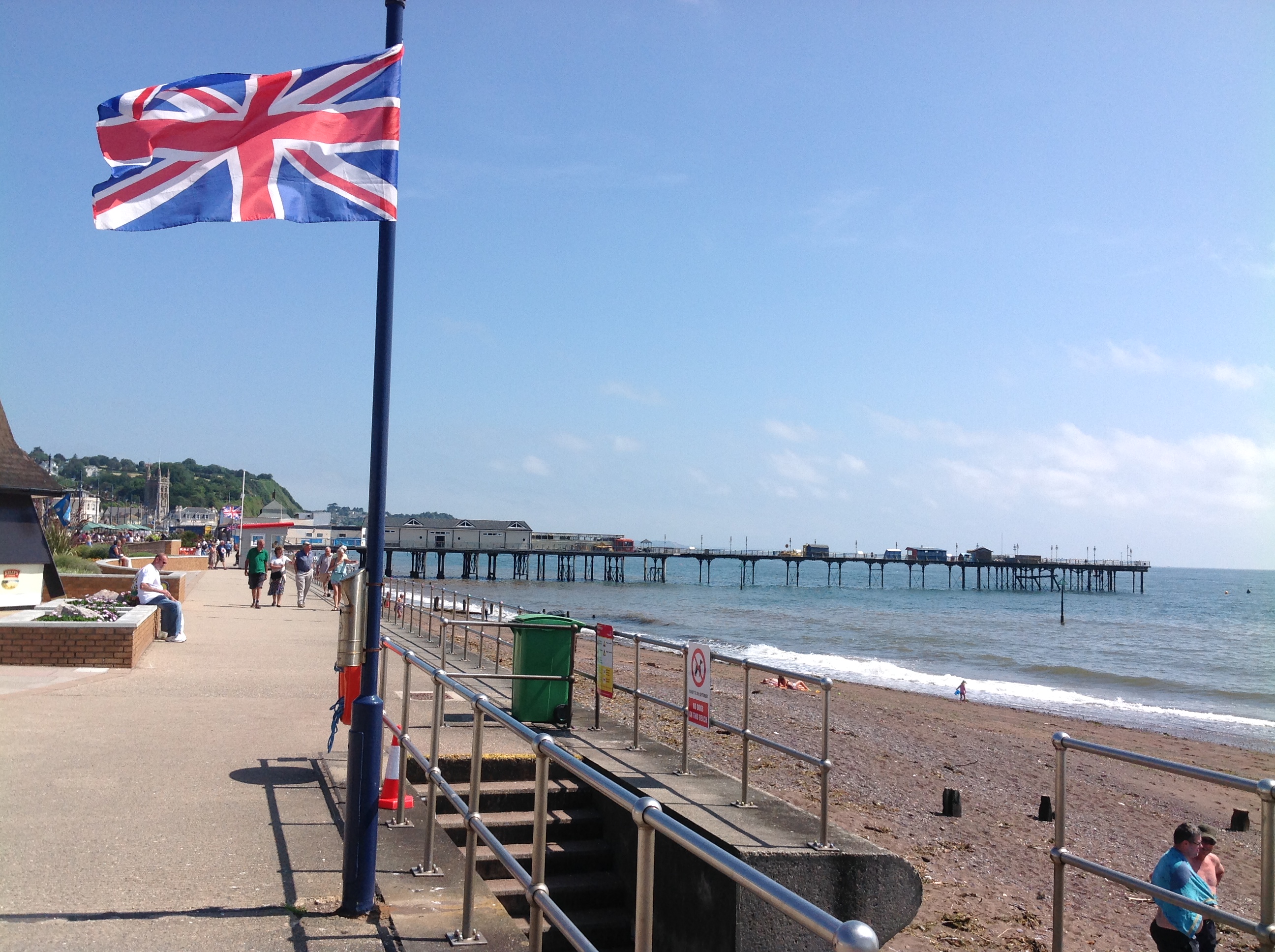
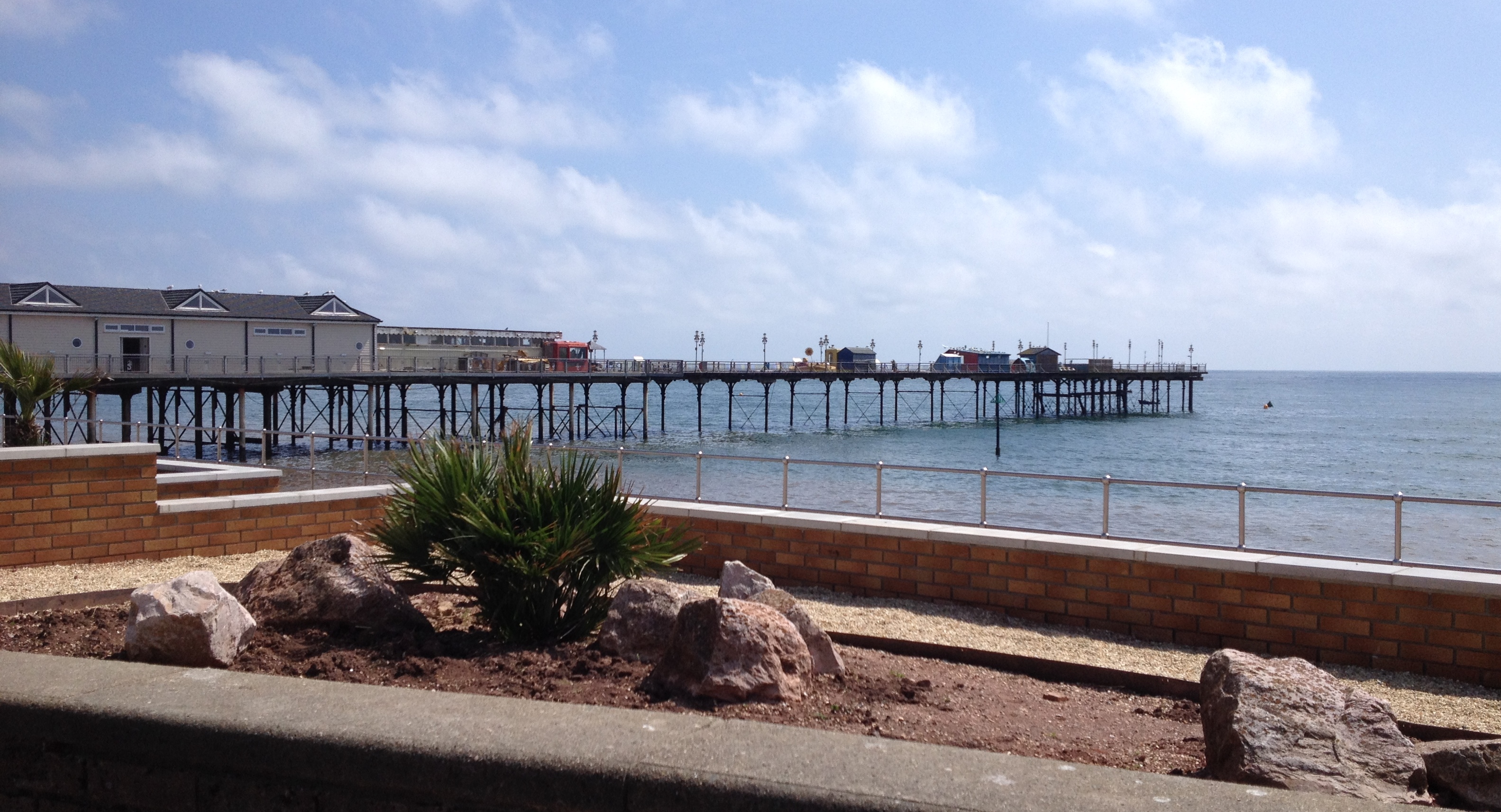
EPW024183 ENGLAND (1928). Courtenay Place, The Den and environs, Teignmouth, 1928

© Copyright OpenStreetMap contributors and licensed by the OpenStreetMap Foundation. 2026. Cartography is licensed as CC BY-SA.
Nearby Images (12)
EPW024183

EPW039710

EPW033439

EPW023709

EPW033434

EPW033440

EPW024182

EPW024205

EPW023760

EPW039712

EPW023708

EPW033438

Details
| Title | [EPW024183] Courtenay Place, The Den and environs, Teignmouth, 1928 |
| Reference | EPW024183 |
| Date | September-1928 |
| Link | |
| Place name | TEIGNMOUTH |
| Parish | TEIGNMOUTH |
| District | |
| Country | ENGLAND |
| Easting / Northing | 294254, 72860 |
| Longitude / Latitude | -3.492642561688, 50.545338845436 |
| National Grid Reference | SX943729 |