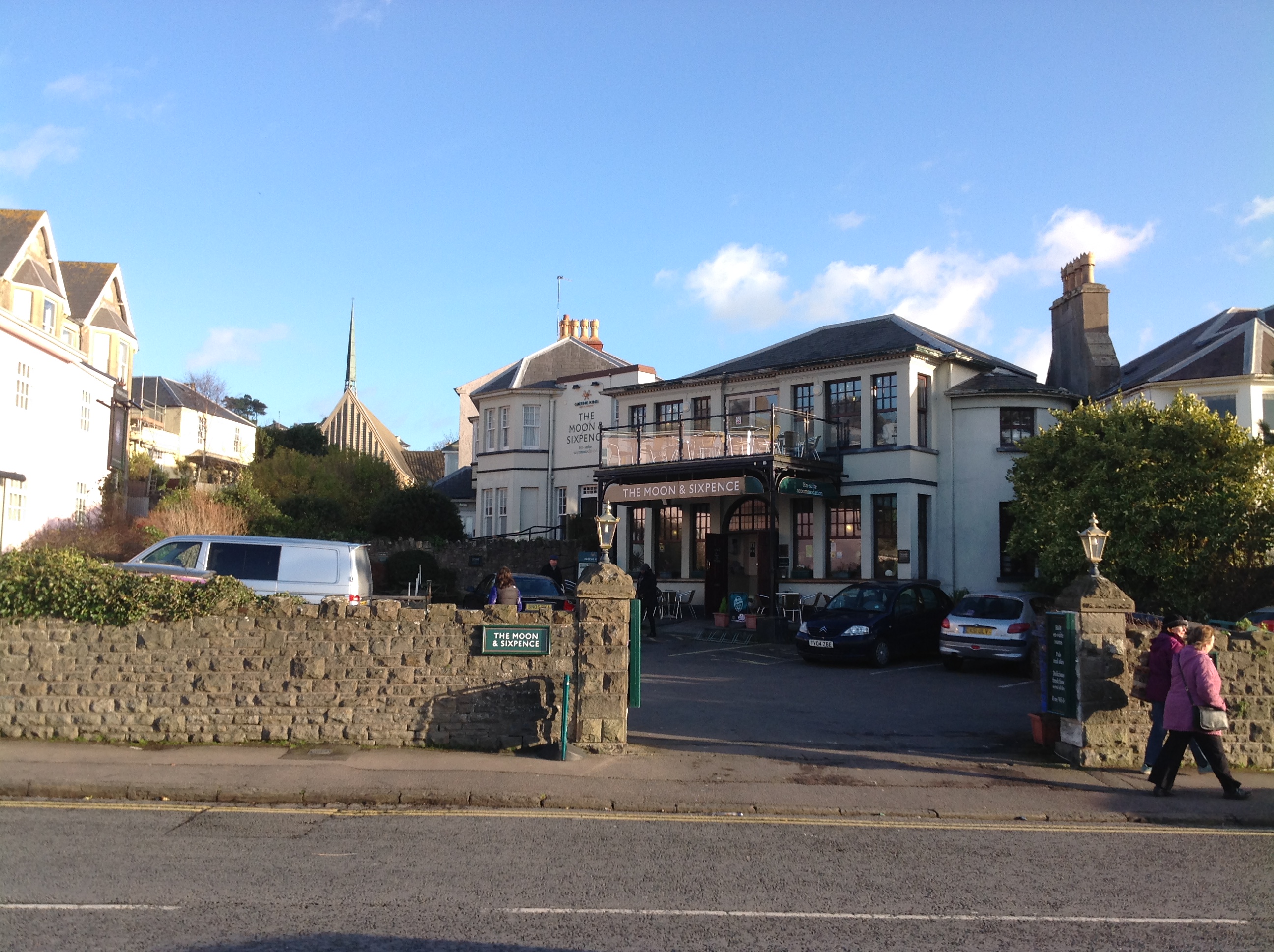
EPW024066 ENGLAND (1928). The Beach and environs, Clevedon, 1928

© Copyright OpenStreetMap contributors and licensed by the OpenStreetMap Foundation. 2026. Cartography is licensed as CC BY-SA.
Nearby Images (10)
EPW024066

EPW024057

EPW033269

EPW024063

EPW024060

EAW023258

EAW023256
 on Elton Road and environs, Clevedon, 1949. This image was marked by Aerofilms Ltd for photo editing.")
EPW008632

EAW023257
 on Elton Road and environs, Clevedon, from the north-west, 1949. This image was marked by Aerofilms Ltd for photo editing.")
EPW033270

Details
| Title | [EPW024066] The Beach and environs, Clevedon, 1928 |
| Reference | EPW024066 |
| Date | September-1928 |
| Link | |
| Place name | CLEVEDON |
| Parish | CLEVEDON |
| District | |
| Country | ENGLAND |
| Easting / Northing | 340296, 171749 |
| Longitude / Latitude | -2.8591129420332, 51.441093908274 |
| National Grid Reference | ST403717 |
Pins

Class31 |
Tuesday 6th of January 2015 02:53:22 PM | |
|
Class31 |
Tuesday 6th of January 2015 02:52:35 PM | |
|
Class31 |
Tuesday 9th of October 2012 08:46:45 PM | |
|
Class31 |
Tuesday 9th of October 2012 08:45:41 PM | |
|
Class31 |
Tuesday 9th of October 2012 08:41:26 PM | |
|
Class31 |
Tuesday 9th of October 2012 08:22:12 PM | |
|
Class31 |
Tuesday 9th of October 2012 08:21:24 PM |