
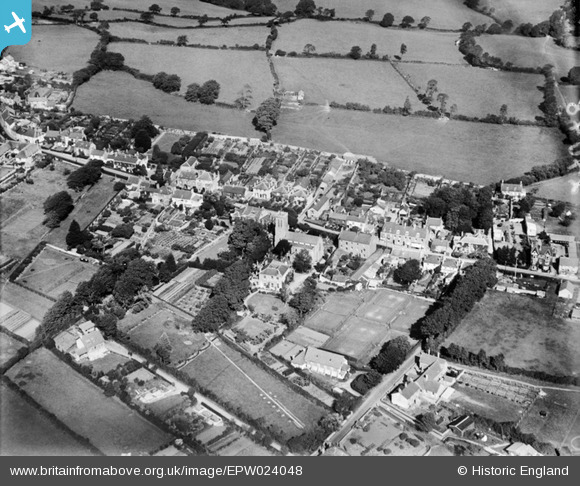
EPW024048 ENGLAND (1928). St Andrew's Church and environs, Charmouth, 1928
© Copyright OpenStreetMap contributors and licensed by the OpenStreetMap Foundation. 2025. Cartography is licensed as CC BY-SA.
Nearby Images (2)
EPW024048

EPW024047

Details
| Title | [EPW024048] St Andrew's Church and environs, Charmouth, 1928 |
| Reference | EPW024048 |
| Date | September-1928 |
| Link | |
| Place name | CHARMOUTH |
| Parish | CHARMOUTH |
| District | |
| Country | ENGLAND |
| Easting / Northing | 336420, 93600 |
| Longitude / Latitude | -2.9011183388051, 50.737955472283 |
| National Grid Reference | SY364936 |
Pins
Be the first to add a comment to this image!