
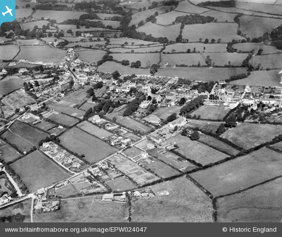
EPW024047 ENGLAND (1928). The village, Charmouth, 1928
© Copyright OpenStreetMap contributors and licensed by the OpenStreetMap Foundation. 2025. Cartography is licensed as CC BY-SA.
Nearby Images (2)
EPW024047

EPW024048

Details
| Title | [EPW024047] The village, Charmouth, 1928 |
| Reference | EPW024047 |
| Date | September-1928 |
| Link | |
| Place name | CHARMOUTH |
| Parish | CHARMOUTH |
| District | |
| Country | ENGLAND |
| Easting / Northing | 336454, 93528 |
| Longitude / Latitude | -2.9006241021273, 50.737311729718 |
| National Grid Reference | SY365935 |
Pins

Jonathan Smith |
Tuesday 3rd of July 2012 05:23:26 PM |