
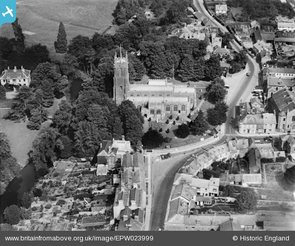
EPW023999 ENGLAND (1928). St Peter's Church, Tiverton, 1928
© Copyright OpenStreetMap contributors and licensed by the OpenStreetMap Foundation. 2026. Cartography is licensed as CC BY-SA.
Nearby Images (14)
EPW023999

EPW024002

EAW005881

EAW005883

EAW005882

EAW005884

EAW005885

EAW005886

EPW061358

EPW061356

EPW023998

EPW061361

EPW061362

EAW051179

Details
| Title | [EPW023999] St Peter's Church, Tiverton, 1928 |
| Reference | EPW023999 |
| Date | September-1928 |
| Link | |
| Place name | TIVERTON |
| Parish | TIVERTON |
| District | |
| Country | ENGLAND |
| Easting / Northing | 295410, 112824 |
| Longitude / Latitude | -3.4876679241617, 50.904850735272 |
| National Grid Reference | SS954128 |
Pins

Class31 |
Tuesday 19th of March 2013 10:20:07 AM | |

MB |
Saturday 10th of November 2012 09:33:19 AM | |
|
MB |
Saturday 10th of November 2012 09:32:22 AM | |
|
MB |
Saturday 10th of November 2012 09:31:37 AM | |
Was The Lamb Inn, now flats. |
david lewis |
Saturday 19th of April 2014 12:24:54 PM |
|
MB |
Saturday 10th of November 2012 09:30:30 AM | |
|
MB |
Saturday 10th of November 2012 09:30:02 AM | |
|
MB |
Saturday 10th of November 2012 09:29:41 AM | |
|
MB |
Saturday 10th of November 2012 09:29:04 AM |
User Comment Contributions

A carving of a medieval ship can be seen on the south wall of St Peter's Church |
MB |
Saturday 10th of November 2012 09:38:30 AM |