
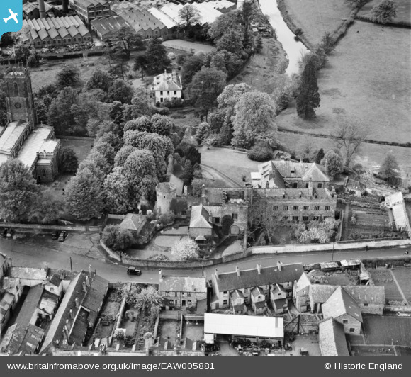
EAW005881 ENGLAND (1947). Tiverton Castle, Tiverton, 1947
© Copyright OpenStreetMap contributors and licensed by the OpenStreetMap Foundation. 2026. Cartography is licensed as CC BY-SA.
Nearby Images (13)
EAW005881

EAW005884

EAW005882

EAW005886

EAW005883

EAW005885

EPW024002

EPW023999

EPW061358

EPW061362

EPW061356

EPW023998

EPW061361

Details
| Title | [EAW005881] Tiverton Castle, Tiverton, 1947 |
| Reference | EAW005881 |
| Date | 15-May-1947 |
| Link | |
| Place name | TIVERTON |
| Parish | TIVERTON |
| District | |
| Country | ENGLAND |
| Easting / Northing | 295442, 112905 |
| Longitude / Latitude | -3.4872361333005, 50.905584754654 |
| National Grid Reference | SS954129 |
Pins

MB |
Thursday 7th of November 2013 05:28:29 PM |