
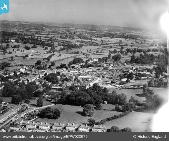
EPW023979 ENGLAND (1928). The town, Axminster, from the south-east, 1928
© Copyright OpenStreetMap contributors and licensed by the OpenStreetMap Foundation. 2026. Cartography is licensed as CC BY-SA.
Nearby Images (5)
EPW023979

EPW023973

EPW024056

EPW023974

EPW023975

Details
| Title | [EPW023979] The town, Axminster, from the south-east, 1928 |
| Reference | EPW023979 |
| Date | September-1928 |
| Link | |
| Place name | AXMINSTER |
| Parish | AXMINSTER |
| District | |
| Country | ENGLAND |
| Easting / Northing | 329722, 98374 |
| Longitude / Latitude | -2.9969461594117, 50.78011251254 |
| National Grid Reference | SY297984 |


