
EPW023975 ENGLAND (1928). The town centre, Axminster, 1928

© Copyright OpenStreetMap contributors and licensed by the OpenStreetMap Foundation. 2026. Cartography is licensed as CC BY-SA.
Nearby Images (5)
EPW023975

EPW023973

EPW024056

EPW023974

EPW023979

Details
| Title | [EPW023975] The town centre, Axminster, 1928 |
| Reference | EPW023975 |
| Date | September-1928 |
| Link | |
| Place name | AXMINSTER |
| Parish | AXMINSTER |
| District | |
| Country | ENGLAND |
| Easting / Northing | 329665, 98546 |
| Longitude / Latitude | -2.9977875335045, 50.781652266629 |
| National Grid Reference | SY297985 |
Pins


User Comment Contributions
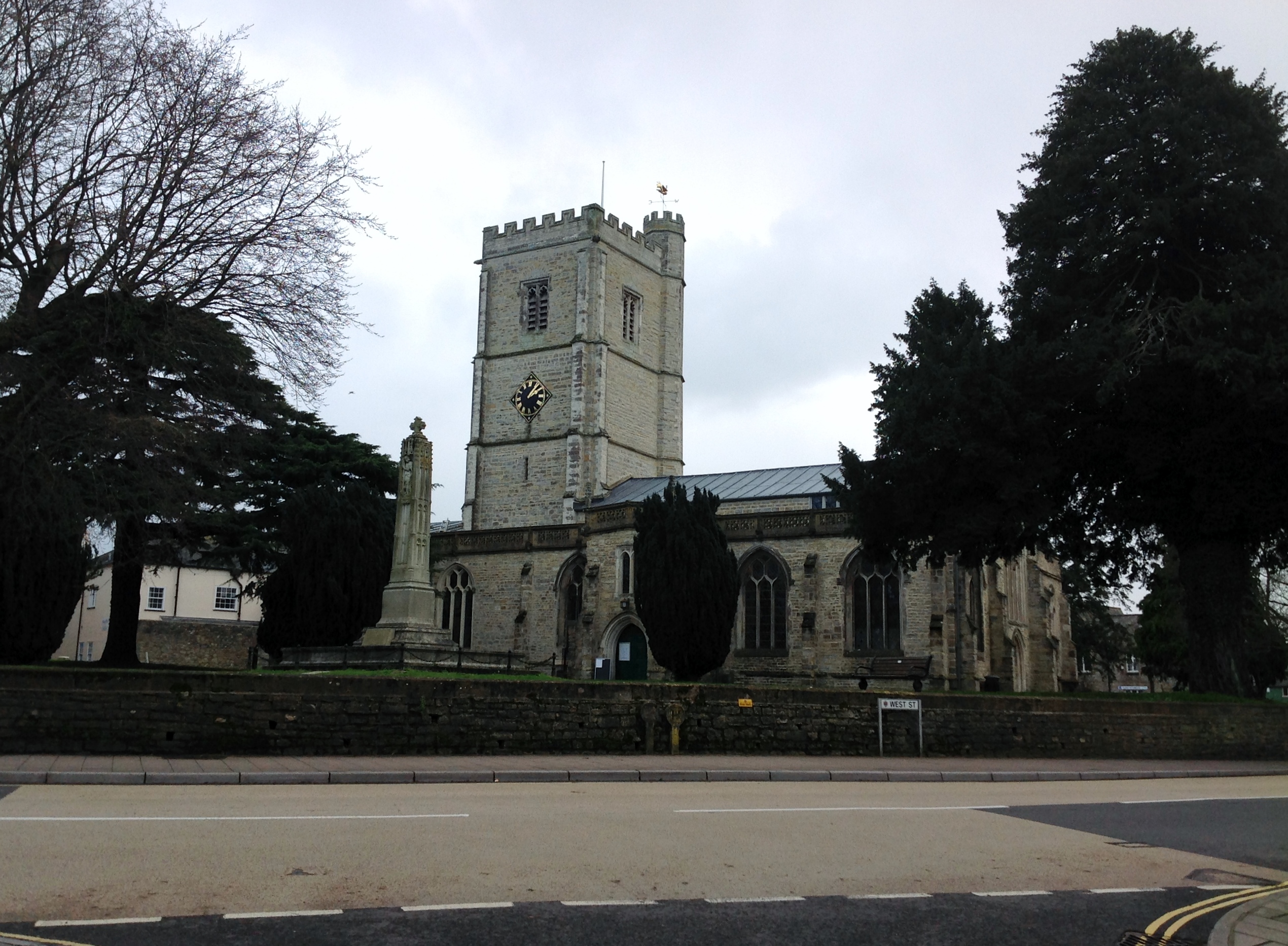
St. Mary's Church and War Memorial 09/02/2014 |

Class31 |
Monday 10th of February 2014 08:48:13 AM |