
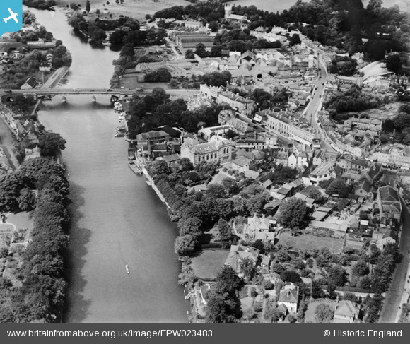
EPW023483 ENGLAND (1928). The Town Hall and Staines Bridge, Staines, 1928
© Copyright OpenStreetMap contributors and licensed by the OpenStreetMap Foundation. 2026. Cartography is licensed as CC BY-SA.
Nearby Images (7)
EPW023483

EPW061673

EPW023492

EPW006219

EPW023487

EPW023493

EPW023486

Details
| Title | [EPW023483] The Town Hall and Staines Bridge, Staines, 1928 |
| Reference | EPW023483 |
| Date | September-1928 |
| Link | |
| Place name | STAINES |
| Parish | |
| District | |
| Country | ENGLAND |
| Easting / Northing | 503389, 171480 |
| Longitude / Latitude | -0.51253829647489, 51.432385599642 |
| National Grid Reference | TQ034715 |
Pins

Leslie B |
Sunday 22nd of May 2016 04:18:39 PM | |

Class31 |
Tuesday 15th of September 2015 12:58:47 PM | |
|
Class31 |
Tuesday 15th of September 2015 12:58:16 PM | |
|
Class31 |
Tuesday 15th of September 2015 12:49:00 PM | |
|
JOHNAA |
Monday 17th of November 2014 09:52:13 PM | |
|
JOHNAA |
Monday 17th of November 2014 09:52:10 PM | |
|
JOHNAA |
Monday 17th of November 2014 09:47:07 PM | |
|
hmrspaul |
Sunday 1st of July 2012 11:22:33 PM |


User Comment Contributions

Former Ashby's Brewery, Church Street, Staines, 07/09/2015 |
Class31 |
Tuesday 15th of September 2015 01:01:38 PM |
Ashby House, Bridge Street, Staines, 07/09/2015 |
Class31 |
Tuesday 15th of September 2015 12:52:28 PM |
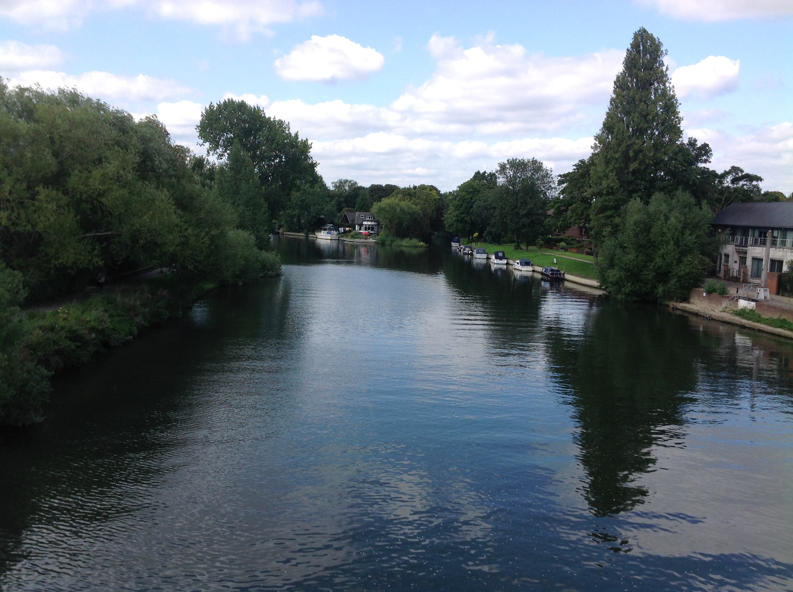
View west from Staines Bridge, 07/09/2015 |
Class31 |
Tuesday 15th of September 2015 12:48:15 PM |