
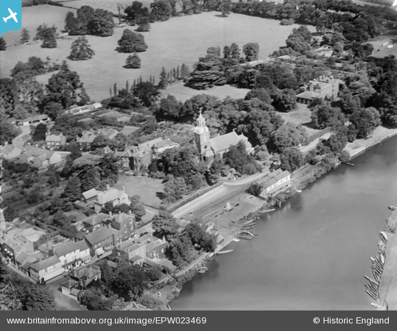
EPW023469 ENGLAND (1928). St Mary's Church and Sunbury Park, Sunbury-on-Thames, 1928
© Copyright OpenStreetMap contributors and licensed by the OpenStreetMap Foundation. 2026. Cartography is licensed as CC BY-SA.
Nearby Images (8)
EPW023469

EPW028317

EAW003681

EPW028312

EPW049563

EPW028319

EPW049601

EPW028314

Details
| Title | [EPW023469] St Mary's Church and Sunbury Park, Sunbury-on-Thames, 1928 |
| Reference | EPW023469 |
| Date | September-1928 |
| Link | |
| Place name | SUNBURY-ON-THAMES |
| Parish | |
| District | |
| Country | ENGLAND |
| Easting / Northing | 510612, 168507 |
| Longitude / Latitude | -0.40959032072999, 51.404296507641 |
| National Grid Reference | TQ106685 |
Pins

Hanworth1915 |
Wednesday 17th of January 2024 05:59:32 PM | |
|
Chris |
Wednesday 2nd of March 2022 01:57:30 PM | |
|
bumblee |
Monday 14th of April 2014 06:32:20 PM | |
|
bumblee |
Monday 14th of April 2014 06:17:54 PM | |
|
bumblee |
Monday 14th of April 2014 06:16:43 PM |