
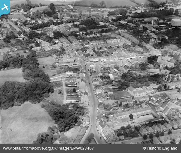
EPW023467 ENGLAND (1928). The town centre, Walton-on-Thames, 1928
© Copyright OpenStreetMap contributors and licensed by the OpenStreetMap Foundation. 2025. Cartography is licensed as CC BY-SA.
Nearby Images (2)
EPW023467

EPW049554

Details
| Title | [EPW023467] The town centre, Walton-on-Thames, 1928 |
| Reference | EPW023467 |
| Date | September-1928 |
| Link | |
| Place name | WALTON-ON-THAMES |
| Parish | |
| District | |
| Country | ENGLAND |
| Easting / Northing | 510084, 166400 |
| Longitude / Latitude | -0.41783257806113, 51.385458939013 |
| National Grid Reference | TQ101664 |
Pins

David960 |
Sunday 22nd of February 2015 02:25:21 PM | |
|
David960 |
Sunday 22nd of February 2015 02:23:53 PM | |
|
David960 |
Sunday 22nd of February 2015 02:21:29 PM | |
|
David960 |
Sunday 22nd of February 2015 02:19:01 PM | |
|
David960 |
Sunday 22nd of February 2015 02:17:53 PM | |
|
David960 |
Sunday 22nd of February 2015 02:17:19 PM |