
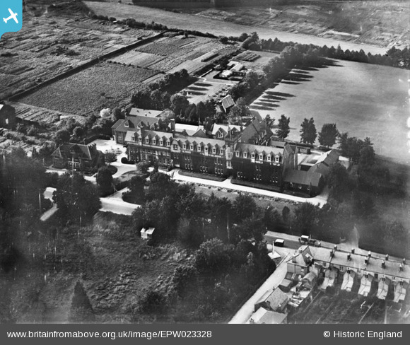
EPW023328 ENGLAND (1928). West Downs, Winchester, 1928
© Copyright OpenStreetMap contributors and licensed by the OpenStreetMap Foundation. 2025. Cartography is licensed as CC BY-SA.
Nearby Images (5)
EPW023328

EAW051295

EAW051294

EAW051293

EAW051296

Details
| Title | [EPW023328] West Downs, Winchester, 1928 |
| Reference | EPW023328 |
| Date | September-1928 |
| Link | |
| Place name | WINCHESTER |
| Parish | |
| District | |
| Country | ENGLAND |
| Easting / Northing | 446802, 129392 |
| Longitude / Latitude | -1.3320666076127, 51.061421618059 |
| National Grid Reference | SU468294 |
Pins

norfolkadam |
Saturday 25th of February 2017 11:44:38 AM |