
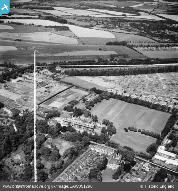
EAW051296 ENGLAND (1953). West Downs School and environs, Winchester, 1953. This image was marked by Aerofilms Ltd for photo editing.
© Copyright OpenStreetMap contributors and licensed by the OpenStreetMap Foundation. 2025. Cartography is licensed as CC BY-SA.
Nearby Images (5)
EAW051296

EAW051295

EAW051294

EAW051293

EPW023328

Details
| Title | [EAW051296] West Downs School and environs, Winchester, 1953. This image was marked by Aerofilms Ltd for photo editing. |
| Reference | EAW051296 |
| Date | 8-August-1953 |
| Link | |
| Place name | WINCHESTER |
| Parish | |
| District | |
| Country | ENGLAND |
| Easting / Northing | 446681, 129545 |
| Longitude / Latitude | -1.3337735821083, 51.06280733574 |
| National Grid Reference | SU467295 |
Pins
Be the first to add a comment to this image!