
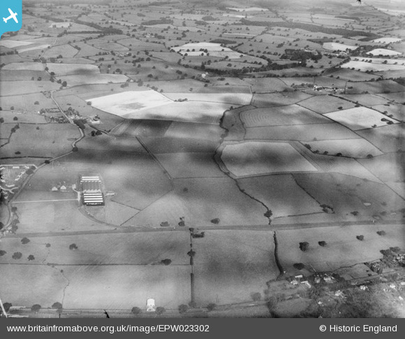
EPW023302 ENGLAND (1928). The Chatwood Safe Co and environs, Harlescott, from the south-east, 1928
© Copyright OpenStreetMap contributors and licensed by the OpenStreetMap Foundation. 2026. Cartography is licensed as CC BY-SA.
Nearby Images (3)
EPW023302

EPW023299

EPW023338

Details
| Title | [EPW023302] The Chatwood Safe Co and environs, Harlescott, from the south-east, 1928 |
| Reference | EPW023302 |
| Date | September-1928 |
| Link | |
| Place name | HARLESCOTT |
| Parish | SHREWSBURY |
| District | |
| Country | ENGLAND |
| Easting / Northing | 351096, 316294 |
| Longitude / Latitude | -2.7244694713651, 52.741719567426 |
| National Grid Reference | SJ511163 |
Pins
Be the first to add a comment to this image!