
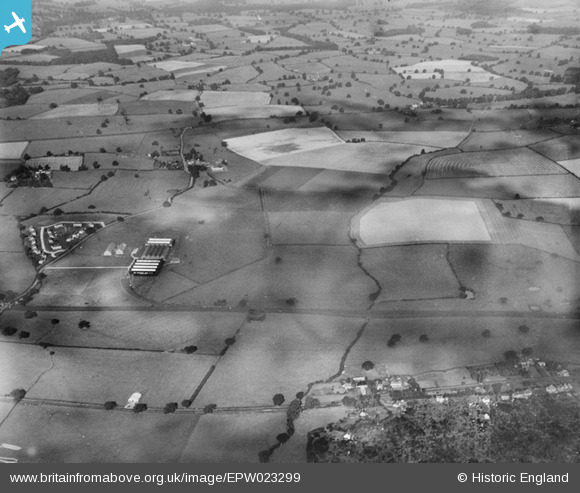
EPW023299 ENGLAND (1928). The Chatwood Safe Co and environs, Harlescott, from the east, 1928
© Copyright OpenStreetMap contributors and licensed by the OpenStreetMap Foundation. 2026. Cartography is licensed as CC BY-SA.
Nearby Images (2)
EPW023299

EPW023302

Details
| Title | [EPW023299] The Chatwood Safe Co and environs, Harlescott, from the east, 1928 |
| Reference | EPW023299 |
| Date | September-1928 |
| Link | |
| Place name | HARLESCOTT |
| Parish | SHREWSBURY |
| District | |
| Country | ENGLAND |
| Easting / Northing | 351108, 316288 |
| Longitude / Latitude | -2.7242908231948, 52.741666713682 |
| National Grid Reference | SJ511163 |
Pins
Lynda Tubbs |
Thursday 1st of May 2014 09:18:13 AM |