
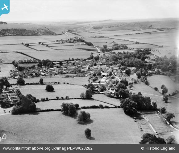
EPW023282 ENGLAND (1928). Kingsclere and surroundings, Kingsclere, from the north, 1928
© Copyright OpenStreetMap contributors and licensed by the OpenStreetMap Foundation. 2025. Cartography is licensed as CC BY-SA.
Nearby Images (2)
EPW023282

EPW033343

Details
| Title | [EPW023282] Kingsclere and surroundings, Kingsclere, from the north, 1928 |
| Reference | EPW023282 |
| Date | September-1928 |
| Link | |
| Place name | KINGSCLERE |
| Parish | KINGSCLERE |
| District | |
| Country | ENGLAND |
| Easting / Northing | 452702, 158993 |
| Longitude / Latitude | -1.2435259982691, 51.327088232188 |
| National Grid Reference | SU527590 |
Pins
Be the first to add a comment to this image!