
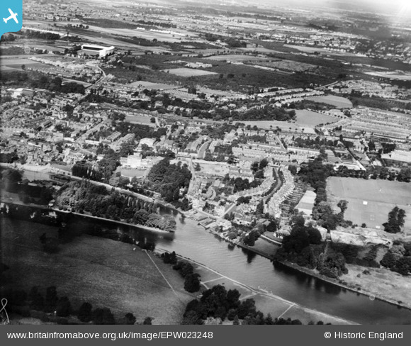
EPW023248 ENGLAND (1928). Eel Pie Island and York House, Twickenham, from the south-east, 1928
© Copyright OpenStreetMap contributors and licensed by the OpenStreetMap Foundation. 2026. Cartography is licensed as CC BY-SA.
Nearby Images (2)
EPW023248

EPW022847

Details
| Title | [EPW023248] Eel Pie Island and York House, Twickenham, from the south-east, 1928 |
| Reference | EPW023248 |
| Date | September-1928 |
| Link | |
| Place name | TWICKENHAM |
| Parish | |
| District | |
| Country | ENGLAND |
| Easting / Northing | 516809, 173287 |
| Longitude / Latitude | -0.31895205572218, 51.446020083293 |
| National Grid Reference | TQ168733 |
Pins

Martin Devlin |
Monday 31st of January 2022 03:32:28 PM | |
|
Ian |
Monday 20th of July 2015 03:28:18 PM | |
|
Momentum |
Tuesday 8th of July 2014 08:46:03 PM | |
|
Momentum |
Tuesday 8th of July 2014 08:44:24 PM | |
|
Momentum |
Tuesday 8th of July 2014 08:41:55 PM | |
|
John |
Thursday 5th of July 2012 07:27:59 PM |