
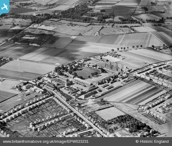
EPW023231 ENGLAND (1928). Hounslow Barracks and Hounslow Heath, Hounslow, 1928
© Copyright OpenStreetMap contributors and licensed by the OpenStreetMap Foundation. 2026. Cartography is licensed as CC BY-SA.
Nearby Images (6)
EPW023231

EPR000637

EPW023237

EPW023228

EPW023234

EPW057925

Details
| Title | [EPW023231] Hounslow Barracks and Hounslow Heath, Hounslow, 1928 |
| Reference | EPW023231 |
| Date | September-1928 |
| Link | |
| Place name | HOUNSLOW |
| Parish | |
| District | |
| Country | ENGLAND |
| Easting / Northing | 511905, 175565 |
| Longitude / Latitude | -0.38877600764347, 51.467487539224 |
| National Grid Reference | TQ119756 |

