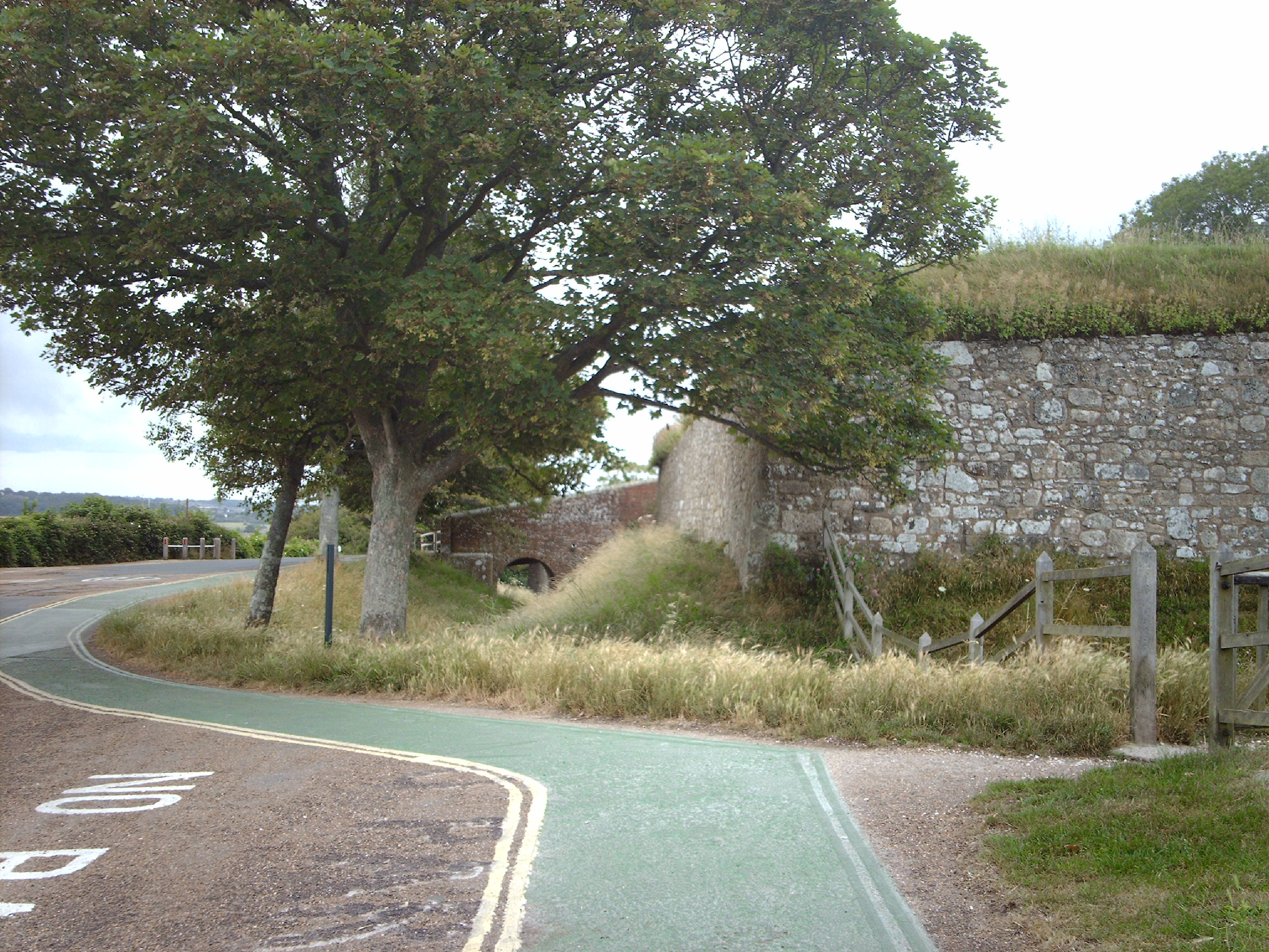
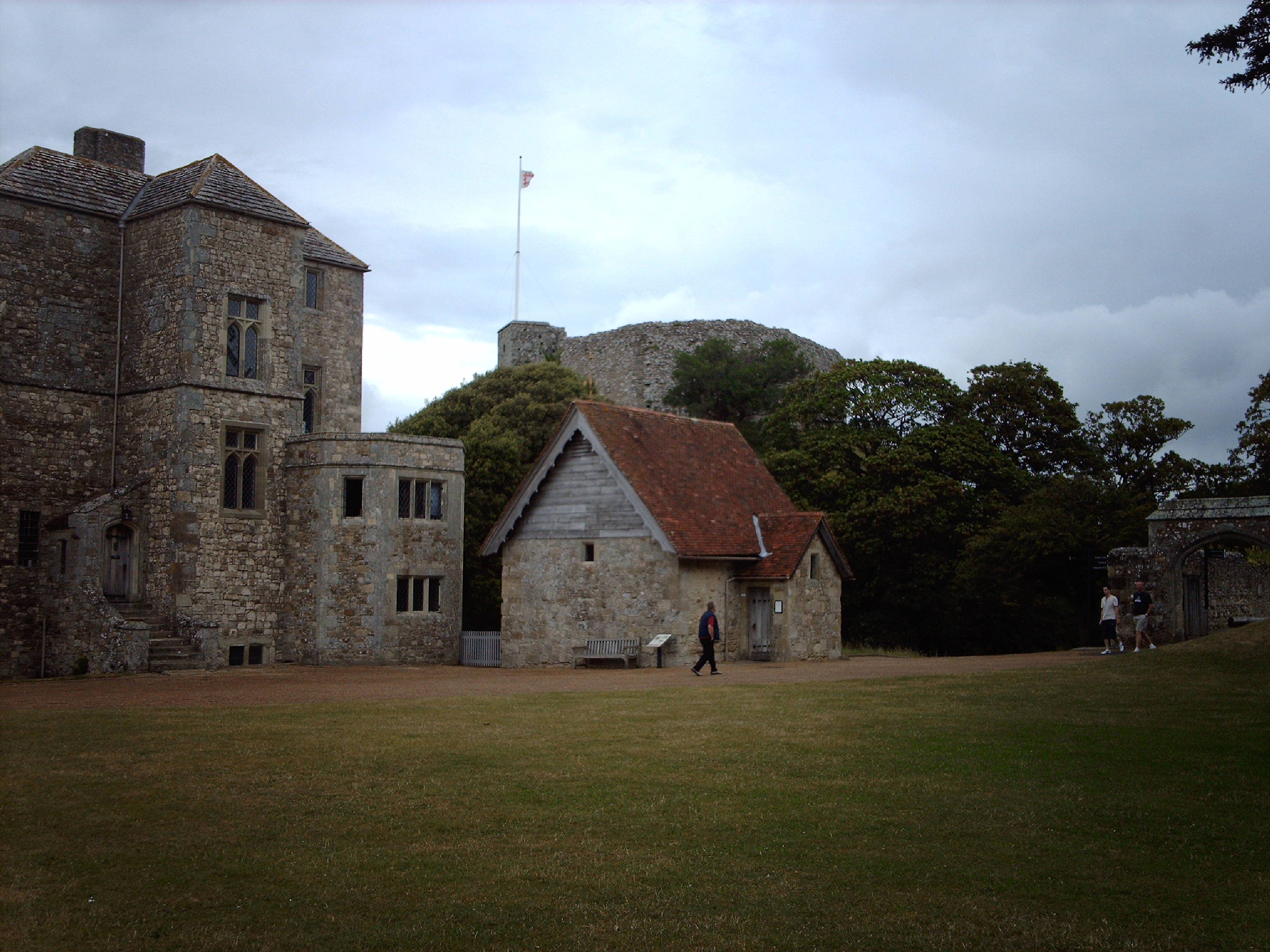
EPW023028 ENGLAND (1928). Carisbrooke Castle, Carisbrooke, 1928

© Copyright OpenStreetMap contributors and licensed by the OpenStreetMap Foundation. 2025. Cartography is licensed as CC BY-SA.
Nearby Images (9)
EPW023028

EAW015252

EPW032331

EAW015251

EAW015253

EPW023019

EPW023027

EAW015250

EPW023018

Details
| Title | [EPW023028] Carisbrooke Castle, Carisbrooke, 1928 |
| Reference | EPW023028 |
| Date | August-1928 |
| Link | |
| Place name | CARISBROOKE |
| Parish | NEWPORT |
| District | |
| Country | ENGLAND |
| Easting / Northing | 448591, 87768 |
| Longitude / Latitude | -1.3120697482944, 50.686955933918 |
| National Grid Reference | SZ486878 |
Pins
Be the first to add a comment to this image!