EPW022791 ENGLAND (1928). Imperial Chemical House and environs, Westminster, 1928
© Copyright OpenStreetMap contributors and licensed by the OpenStreetMap Foundation. 2026. Cartography is licensed as CC BY-SA.
Nearby Images (21)
Details
| Title | [EPW022791] Imperial Chemical House and environs, Westminster, 1928 |
| Reference | EPW022791 |
| Date | August-1928 |
| Link | |
| Place name | WESTMINSTER |
| Parish | |
| District | |
| Country | ENGLAND |
| Easting / Northing | 530220, 178932 |
| Longitude / Latitude | -0.12397364666778, 51.493830535101 |
| National Grid Reference | TQ302789 |
Pins

Alan McFaden |
Thursday 4th of December 2014 09:50:48 AM | |

Alan McFaden |
Thursday 4th of December 2014 09:49:59 AM | |

Class31 |
Wednesday 10th of September 2014 03:39:46 PM | |

Class31 |
Wednesday 10th of September 2014 03:38:55 PM |
User Comment Contributions

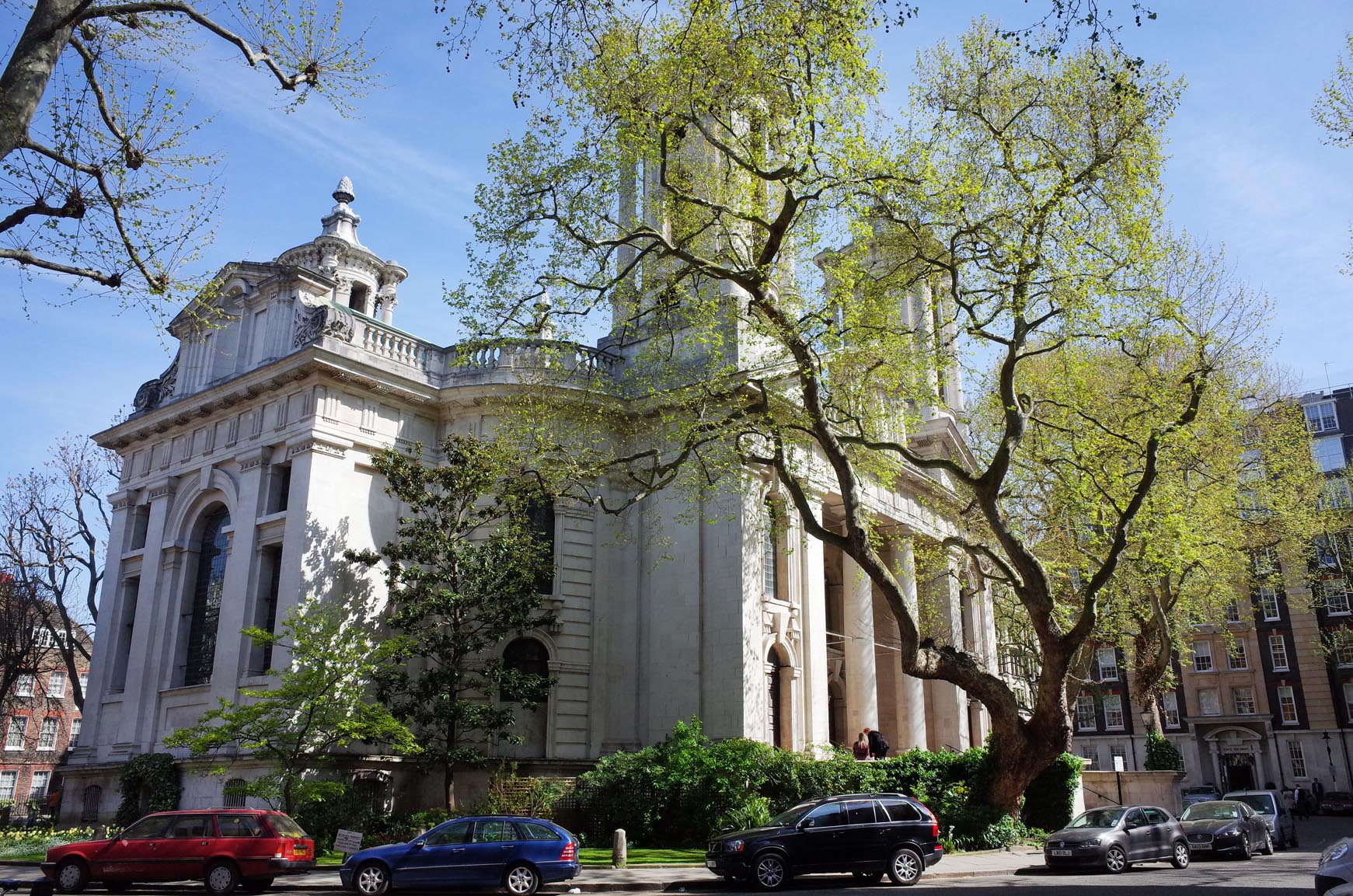
Saint John's Smith Square |

Alan McFaden |
Thursday 4th of December 2014 09:48:57 AM |

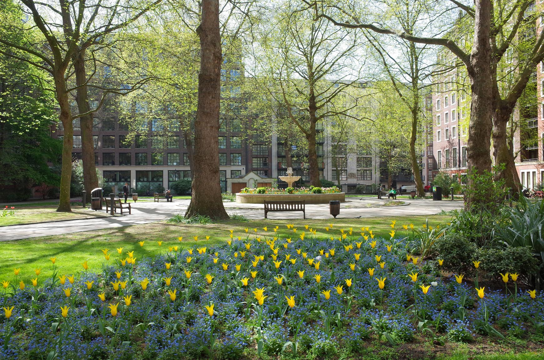
Saint John's Gardens |

Alan McFaden |
Thursday 4th of December 2014 09:48:19 AM |


![[EPW022791] Imperial Chemical House and environs, Westminster, 1928](http://britainfromabove.org.uk/sites/all/libraries/aerofilms-images/public/100x100/EPW/022/EPW022791.jpg)
![[EPW022797] Imperial Chemical House and environs, Westminster, 1928](http://britainfromabove.org.uk/sites/all/libraries/aerofilms-images/public/100x100/EPW/022/EPW022797.jpg)
![[EPW022790] Imperial Chemical House and environs, Westminster, 1928](http://britainfromabove.org.uk/sites/all/libraries/aerofilms-images/public/100x100/EPW/022/EPW022790.jpg)
![[EPW017276] The River Thames and the city, Westminster, from the south-west, 1926](http://britainfromabove.org.uk/sites/all/libraries/aerofilms-images/public/100x100/EPW/017/EPW017276.jpg)
![[EPW022793] Imperial Chemical House and Lambeth Bridge, Westminster, 1928](http://britainfromabove.org.uk/sites/all/libraries/aerofilms-images/public/100x100/EPW/022/EPW022793.jpg)
![[EPW042212] The River Thames and the city between Vauxhall Bridge and Blackfriars Bridge, Westminster, 1933](http://britainfromabove.org.uk/sites/all/libraries/aerofilms-images/public/100x100/EPW/042/EPW042212.jpg)
![[EPW025096] Imperial Chemical House, Victoria Tower Gardens and environs, Westminster, from the east, 1928](http://britainfromabove.org.uk/sites/all/libraries/aerofilms-images/public/100x100/EPW/025/EPW025096.jpg)
![[EPW025094] Imperial Chemical House and environs, Westminster, 1928](http://britainfromabove.org.uk/sites/all/libraries/aerofilms-images/public/100x100/EPW/025/EPW025094.jpg)
![[EPW022796] Grosvenor Road (Millbank) and environs, Westminster, 1928](http://britainfromabove.org.uk/sites/all/libraries/aerofilms-images/public/100x100/EPW/022/EPW022796.jpg)
![[EPW059351] Horseferry Road, Lambeth Bridge and the surrounding city, Westminster, 1938](http://britainfromabove.org.uk/sites/all/libraries/aerofilms-images/public/100x100/EPW/059/EPW059351.jpg)
![[EPW022795] Grosvenor Road (Millbank) and environs, Westminster, 1928](http://britainfromabove.org.uk/sites/all/libraries/aerofilms-images/public/100x100/EPW/022/EPW022795.jpg)
![[EPW022794] Imperial Chemical House and Lambeth Bridge, Westminster, 1928](http://britainfromabove.org.uk/sites/all/libraries/aerofilms-images/public/100x100/EPW/022/EPW022794.jpg)
![[EPW025095] Imperial Chemical House and environs, Westminster, from the east, 1928](http://britainfromabove.org.uk/sites/all/libraries/aerofilms-images/public/100x100/EPW/025/EPW025095.jpg)
![[EPW024758] St John's Church and Smith Square, Westminster, 1928](http://britainfromabove.org.uk/sites/all/libraries/aerofilms-images/public/100x100/EPW/024/EPW024758.jpg)
![[EPW022798] Imperial Chemical House and Lambeth Bridge, Westminster, 1928](http://britainfromabove.org.uk/sites/all/libraries/aerofilms-images/public/100x100/EPW/022/EPW022798.jpg)
![[EAW000529] Westminster and Lambeth Bridge, Westminster, from the south-east, 1946](http://britainfromabove.org.uk/sites/all/libraries/aerofilms-images/public/100x100/EAW/000/EAW000529.jpg)
![[EAW000526] Westminster and Lambeth Bridge, Westminster, from the south-east, 1946](http://britainfromabove.org.uk/sites/all/libraries/aerofilms-images/public/100x100/EAW/000/EAW000526.jpg)
![[EPW060783] Central London and the River Thames, London, from the south-west, 1939](http://britainfromabove.org.uk/sites/all/libraries/aerofilms-images/public/100x100/EPW/060/EPW060783.jpg)
![[EAW035653] The River Thames from the Tate Gallery to Waterloo Bridge, Westminster, from the south, 1951. This image has been produced from a print.](http://britainfromabove.org.uk/sites/all/libraries/aerofilms-images/public/100x100/EAW/035/EAW035653.jpg)
![[EPW022792] The River Thames at Lambeth Bridge, Lambeth, 1928](http://britainfromabove.org.uk/sites/all/libraries/aerofilms-images/public/100x100/EPW/022/EPW022792.jpg)
![[EAW018330] Lambeth Palace and the River Thames, Lambeth, 1948. This image has been produced from a print.](http://britainfromabove.org.uk/sites/all/libraries/aerofilms-images/public/100x100/EAW/018/EAW018330.jpg)

